The app provides a digital location service using N-codes derived from GPS coordinates. It can assist with disaster preparedness and improve efficiency in various industries.
by TORU NISHIOKA★ 0.00 ratingsNavigationFreeData updated 2026-10-28
Report potholes, graffiti, or other road issues by submitting photos or videos. Request information about ongoing projects. View location-based service options via GPS. Upload media to support reports.
The app locates the nearest Prevost Service Center or Certified Service Provider in North America. Users can view contact information, address, email, website, and services offered for each location.
Navigate with voice guidance and location reminders
Navigate to FAR Accessible locations using advanced location data. Receive audio descriptions of surroundings and points of interest. Create paths and get oriented indoors without relying on GPS.
Control GPS tracker devices compatible with TK-102 and similar models. Send SMS commands to activate or deactivate tracking. Save and manage predefined settings for multiple devices. View device status and location data in real-time.
The app allows users to share their current location via SMS or email. Recipients can view the shared location coordinates on a map without needing the app installed on their device.
Conduct remote assessments and diagnostics for service, tech, sales, and construction industries. Share project details, collaborate in real-time, and generate reports. Track progress and manage tasks from anywhere without on-site visits.
Submit service requests for potholes, tall grass, and graffiti directly to the city. Track request status and view updates. Communicate with city departments and receive notifications about progress.
Tracks employee locations using GPS while active and cell triangulation when inactive. Sends location data to a web service via HTTP. Allows real-time monitoring and historical location viewing. Supports timer-based reporting intervals.
Make and receive calls using the 's built-in phone service. Access telephony features including call history and contact management. Connect with other users for free calls.
This app provides schedule information for the PATCO high-speed line between Philadelphia and New Jersey. It offers automatic schedule updates to assist users in planning their trips.
The app converts between geodetic and grid coordinates. It supports multiple formats for latitude, longitude, and grid coordinates, along with various datums and projections.
Scan problems with camera for instant recognition. Get clear explanations and step-by-step solutions. Tailor learning to your country's curriculum. Practice arithmetic to advanced calculus. Track progress and review lessons.
Manage medical with AI-powered chat support and medication calculators. Access 3D burn tools and integrated scoring systems. Review and update policies for accuracy. Streamline documentation and improve patient care efficiency.
Create and perform card tricks using augmented . Transform normal cards into digital illusions with real-time effects. Animate cards with interactive gestures. Share tricks via video or image.
Perform energy efficiency tests on equipment. Access after-sales service and technical support. Manage software updates and maintenance for intelligent cutting products. Track performance metrics and generate reports.
Report local issues like potholes, high grass, clogged storm drains, and litter using an interactive map. Add details and location. Notify city staff and track resolution status. Confirm or comment on existing reports.
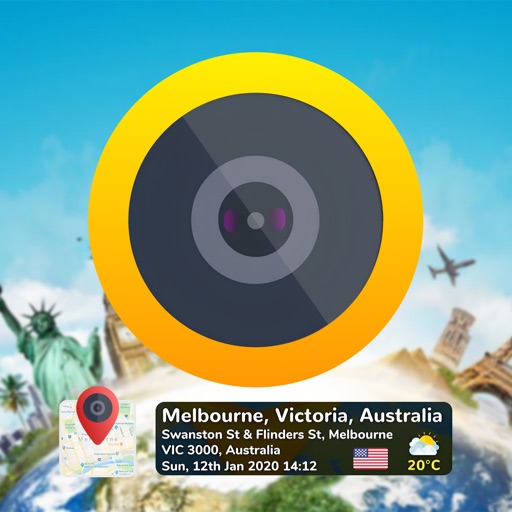
Capture photos with embedded GPS coordinates and timestamps. View live maps and customize location details including addresses and map types. Edit geotag settings and share tagged images with precise location data.
Add time stamps, GPS coordinates, and exact addresses to photos and videos instantly. Enable grid, aspect ratio, switch, flash, focus, and timer settings. Store user locations automatically and reverse-geotag addresses.