Apps Like Deed Calls & Stakeout for iPhone and iPad
Convert property descriptions into maps.
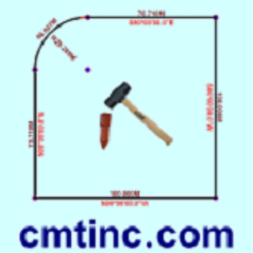
The app converts real property descriptions into boundary maps, displaying angles, distances, closure error, area, and perimeter. It offers stakeout functions for deed plots and individual points, with optional navigation beeps and GPS toggling.
by Corvallis Microtechnology, Inc.★ 3.67 ratingsProductivity$24.99Data updated 2026-10-28
Distances and heights using the camera. Calculate surface area and perimeter. Generate 3D models from photos. Use a bubble level and slopes. Perform various geometric calculations with precise camera-based measurements.
Create 3D layouts with precise measurements. Measure distances and surface areas using augmented reality. Export scans as PDF or other file formats for easy sharing and reference.
View colleagues' presence status and send secure instant messages. Make and receive voice and video calls using a business phone number. Access call logs and voicemail.
Make and receive voice and video calls using VoIP. Send and receive instant messages. Access a corporate directory for quick contact lookup. Dial extensions directly from the .
Manage attendance for groups by creating and customizing messages. Track and share records across multiple groups. View statistics by time period or individual. Send messages, make calls, and record attendance times.
Locate lines and land details with map views and layer overlays. Access addresses, owners, and assessed values. Save favorites for properties of interest. Supports multiple languages.
The app provides real-time audio analysis for musicians and recording engineers. It enables portable, precision audio measurement and visualization for tasks like room or speaker tuning.
Perform complex calculations using algebraic expressions and programmable functions. Support unit conversions and attached units. Save and recall variables. Run scripts and access a comprehensive mathematical library. Export results and history.
Calculate distances and areas using GPS coordinates. Place markers on a map to measure distances between points or total of a route. Delete markers by tapping them. Export results for further use.
Land using GPS technology. Define boundaries on maps to calculate plot sizes. Calculate distances and areas for properties or regions. Save and share measurement data. Sync with mapping services for accurate results.