
Apps Like DBHamPlot for iPhone and iPad
Compute distance and bearing using location.
The app computes distance and bearing using Maidenhead location. It displays a map with annotations and overlays identifying grid areas, and allows users to add new annotations by touching the screen.
DBHamPlot screenshots
Ranked alternatives
Showing 321–340 of 1,000 ranked alternatives.



SLR RAW Camera Manual Controls
GENOVA Softworks
Take photos in RAW and JPG
SLR RAW allows adjustment of ISO, shutter speed, and focus. It supports RAW and JPG export. Users can pinch to zoom, set white balance with RGB settings, and enable grid overlay. Flash settings are available.

FlyBy Nav
Lonnie Ganz
Flight planning made simple for pilots.
The app displays track, heading, distance, ground speed, time enroute, ETA, and fuel burn on one screen. It includes METAR and TAF weather access and 55,000 airports and navaids offline.

Pin Maps +
HurryApp LTD
Mark locations and save discoveries
Track travel locations by pinning spots on a map. Add titles, photos, categories, and notes to each pin. Save and organize discoveries for future reference. Share or export trip data as needed.


Carcopolo
B-TRAC SOLUTIONS LIMITED
Track vehicle location, speed, and distance
Track vehicle location, speed, and distance in real time using GPS. View live data on a map and receive instant notifications via customizable geofence zones. Send "buzz" alerts to drivers to notify them of pickup readiness.

MyFieldTracker
MyShoppingHelper, LLC.
Track areas with ArcGIS maps and GPS
Allows users to define harvesting areas and stream boundaries using ArcGIS map data. It supports iPad with GPS boosters for location tracking. Users can manage map layers and attributes for forestry planning.
MapPoint
Narong Aunthee
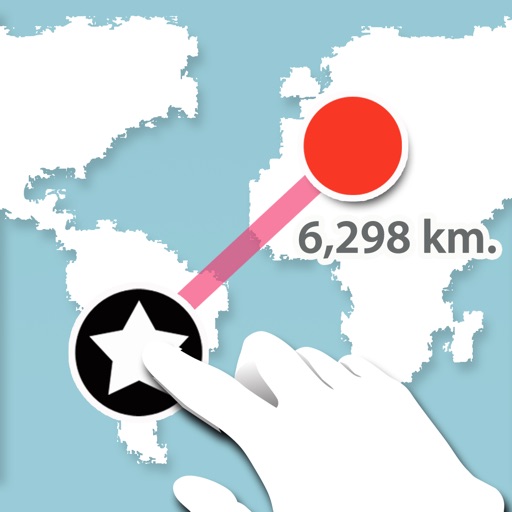
Measure distance between two points.
The app measures the distance between two points on a map. Users press and hold the screen to create points and view a distance summary.


Global Position
NIK PSARAGKATHOS
Track location and navigate routes
Track precise location with Decimal Degrees, DMS, UTM, and MGRS formats. Access topographic maps and route planning. Set waypoints and measure distances. Share coordinates via email or messaging. Sync with GPS devices for real-time navigation.



Shootility SightSet
Xiscan Limited
Zero sights with precision
Adjust sights or scopes for pistols, rifles, or air rifles using precise measurements. Input target distance and bullet drop to calculate zero points. Save ammunition by reducing the number of rounds needed for testing.

How we rank alternatives
Apps are ranked by functional similarity, category fit, rating confidence, and popularity.