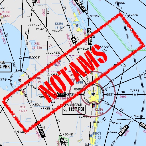
The app displays NOTAMs on a map with categorized colors and symbols indicating their subject. It also provides airport meteorological information and details for various aeronautical points across numerous countries.
by Ufuk Ugur★ 1.01 ratingsNavigationFreeData updated 2026-10-26
Access detailed world maps and high-resolution regional maps of 165 countries. View administrative, topographic, and climate maps offline. Use without internet or ads. Navigate and zoom in for precise geographic information.
Assists pilots with interpreting NOTAMs, METARs, TAFs, and Area Forecasts. It decodes acronyms and contractions for both inflight and ground use. Users can search for details and weather reports.
Record audio during to capture spoken words. Playback and review recorded clips. Share clips to a community tolist. Set recording schedules and manage storage.
Listen to air control communications and view aircraft movements in real time. Switch between channels, receive real-time transcripts, and get alerts for emergencies or notable events.
The app manages aircraft and instructor bookings, providing weather, NOTAMs, and aerodrome frequencies. Users can also manage aircraft information and enter flight times on the Electronic HOBBS Board.
Codes using a virtual number for WhatsApp, Telegram, Signal, Viber, WeChat, and other apps. Create social media accounts with the virtual number. View available countries updated every 30 minutes.
View real-time animated images for rain, snow, and mixed precipitation. Access 24-hour precipitation forecasts and cloud coverage maps. Check snow depth and coverage. Search and save locations. Choose background maps.
Manage and control electric vehicles with support for 17 brands and over 150 models. Monitor battery status, track location, and control speed. Schedule charging and receive maintenance alerts. Sync with other devices for real-time updates.