Track locations in real time with precise geofencing and movement alerts. Share locations with contacts and receive updates. Set custom zones for notifications. View maps and historical data. Control sharing settings and manage permissions.
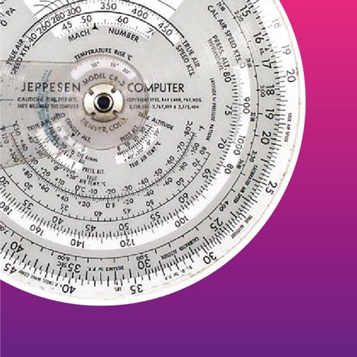
Calculate standard ISA including pressure, density, and temperature. Compute QNH altitude. Adjust MSA for off-standard atmospheres. Convert calibrated airspeed to Mach number.
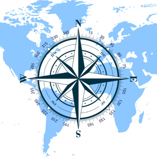
The app provides a compass for direction, a map for location and navigation, and an altimeter for measuring height above sea level. It also offers a sharing feature to send current positions with pictures and text to contacts.
Allows users to send emergency alerts including Lockdown, Fire Evacuation, Medical Emergency, or All Clear. It uses GPS, Wi-Fi, cellular, and motion data to determine location. Alerts trigger push notifications and status updates.
The app provides offline mapping for Snowdonia with Ordnance Survey data. It offers route management, offline search for places and roads, and GPS position display.
The app performs altitude, speed, temperature, wind, and turn calculations. It includes unique calculations for bank, radius, and acceleration, along with various wind computations.
Shows elevation in meters or feet for specific map locations. Users can tap on the map to check altitude. Data is displayed clearly with units toggle. No additional features mentioned.
The app locates the nearest Prevost Service Center or Certified Service Provider in North America. Users can view contact information, address, email, website, and services offered for each location.
The app provides altitude difference information and supports left/right green systems. It covers over 60,000 courses worldwide and offers high-resolution maps.
Scan environment for electromagnetic fields, Wi-Fi, 3G, and light conditions. View real-time sensor data on Apple Watch. Refresh measurements manually. Track EMF levels and signal presence remotely.
The app displays the real-time GPS location of Toronto TTC buses and their arrival times. A map shows bus stops and current bus locations, aiding trip planning and scheduling.
Calculate undulation using the EGM96 dataset. Input GPS coordinates to determine elevation differences between Mean Sea Level and WGS84 ellipsoid. Export results for further analysis.
Track device location in real time using GPS. Record and review movement history. Set intervals for battery efficiency. Receive alerts for location changes. Share location data with others. Control settings remotely.