Navigate trails and routes using detailed and turn-by-turn directions. Track location and elevation. Save favorite spots and share routes. Import GPX files and set waypoints. View terrain and land features for outdoor exploration.
Intercepts Google links in Safari and opens them in Apple . It detects addresses, coordinates, or directions from links and redirects them to the default navigation without prompts.
Provides GPS navigation along rivers and streams for flyfishing. Users can identify public land in green, private land in red, and leased in purple. The shows parking locations and river points. Users can save favorite spots and view offline.
View and navigate mapping data with a touch interface. Access Ordnance Survey for Great Britain at 1:50000 scale. Explore worldwide coverage with detailed topographic and road layers. Search for locations, zoom, and pan across .
Explore and install PE with one tap. Access thousands of high-quality including adventure, survival, parkour, and creative worlds. Download favorites and discover new content updated weekly.
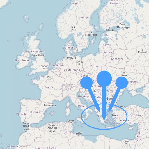
Record travel itineraries with an animated roadmap created in one click. Add cities or countries visited, share experiences, and plan trips. Track travel history and receive support for issues.
The app provides maps for Sweden, suitable for various outdoor activities like trekking and fishing. The maps are installed on the device and function without cellphone, data, or WiFi coverage.