
AutoGRAPH.Mobile
Technokom Ltd.
View vehicle and personnel data.
The app displays vehicle and personnel locations, trips, parks, halts, and fuel data. It shows vehicle and personnel traffic routes and events on a map with a track player.

Showing 761–780 of 1,000 ranked alternatives.
Technokom Ltd.
View vehicle and personnel data.
The app displays vehicle and personnel locations, trips, parks, halts, and fuel data. It shows vehicle and personnel traffic routes and events on a map with a track player.

Replicade Ltd.
Navigate with offline and turn-by-turn directions
View and navigate mapping data with a touch interface. Access Ordnance Survey for Great Britain at 1:50000 scale. Explore worldwide coverage with detailed topographic and road layers. Search for locations, zoom, and pan across .



France Edition
Find a notary in Grand Paris.
The app lists notaries in the Grand Paris region across eight departments. It allows users to find a notary or a firm based on geographic criteria or professional practices like foreign languages and real estate negotiation.



Eddie Lau
Japanese bible tool with dual view.
The app offers a Dual-Bible view displaying bibles in different languages on a single page. It supports vertical text layout for comfortable reading and includes features like auto scrolling, inline notes, and adjustable font size.

ProtiTech Mobility
Map professional football team travel.
The app provides complete game schedules for professional football teams, visualized as maps on iPad or iPhone. Users can analyze and map road trips, home stands, and team travel, with venue locator and driving directions.
Sofinn Italia srl
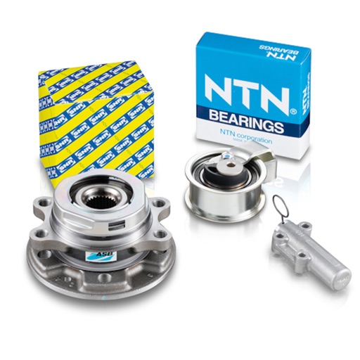
Browse automotive aftermarket catalog on iPhone.
The app allows users to browse the automotive aftermarket catalog directly on their iPhone. Users will have access to all products and receive real-time news updates.


St. Charles Parish Library
Explore learn create connect with library
The app allows users to explore library resources and manage their accounts. It provides access to the catalog, holds, events, hours, and directions.

Katagiri Kikaku Corporation
Explore locations with AR navigation
Find nearby facilities, shops, restaurants, and sightseeing spots using GPS or a selected location. Tap keywords to filter results. View directions and real-time AR navigation overlays. Save favorite locations and share them with others.


Ansgar Vollmer Und Till Knorr
Clear concise route map information design
The app provides a route map with a station index and line overviews. It includes GPS support to find the closest station and high-resolution graphics for retina displays.

Ansgar Vollmer Und Till Knorr
Clear and concise route map application.
The app provides a route map with a station index and line overviews. It includes GPS support to find the closest station and offers day and night map options.

Ansgar Vollmer Und Till Knorr
Clear route map with station lookup.
The app provides a route map with a station index and line overviews. It includes GPS support to find the closest station and offers day and night map options for legibility.


Corvallis Microtechnology, Inc.
GPS data collection and mapping functionality.
The app collects and maps GPS data for land parcels and features. Users can import data, manually digitize, or enter deed calls to create features.
Apps are ranked by functional similarity, category fit, rating confidence, and popularity.