The app allows users to find and track boats and ships on a real-time map. Users can view vessel details, search for locations, and share information about boats.
by Pocket Mariner Ltd.★ 0.00 ratingsTravelFreeData updated 2026-10-24
Measure distances to objects using the lens. Display distance on the image with a 3D grid overlay. Aim at objects to determine their height or depth. Use for measuring boats, buildings, or golf aids.
Book trips, track vehicles, and manage itineraries
Book and manage , bus, boat, and tickets to over 70,000 locations in 140+ countries. Find transfers, taxis, and vans. Set departure dates and compare prices. Receive real-time updates and track luggage. Print or share tickets directly.
Track real-time bus, boat, and transit updates. Search for stations and find directions. View routes and traffic lines. Support multiple transport modes including BMTA, MRT, BTS, ferry, and more.
Book trips by reserving directly from an iPhone. View available vessels, select dates, and confirm reservations. Access trip details, view schedules, and receive reminders. Manage member account information and track reservation history.
Set location during or after installation using distance and bearing. Define allowed area as a circle or custom shape with angles and distances. Monitor movement and receive alerts when boundaries are exceeded.
Ships and vessels in real time using interactive maps. View detailed AIS data including speed, course, and location. Explore global marine traffic and identify cargo ships, cruise liners, tankers, and fishing boats.
Find and book spots by the hour, day, or month. Reserve spaces for cars, RVs, or boats. Earn income by listing unused driveway spaces for others to rent.
Track real-time positions of ships and yachts worldwide using AIS data. View vessel movements and identify vessels by name. Access detailed route information and historical data. Set custom alerts for specific vessels or areas.
Monitor boat location with real-time alerts when it moves outside a set radius. Adjust and recalculate the monitored area precisely. View location history as a series of points. Connect two devices for remote monitoring.
Plan and navigate boating trips with real-time updates and high-resolution NOAA charts. View detailed digital vector charts for US coasts, inland waters, and Great Lakes. Tap buoys and lights for bearing and distance.
Check schedules for TBM lines, trams, buses, boats, trains, TER, and regional coaches. View real-time vehicle locations on a map. Plan routes with multimodal options. Access bike-sharing station availability and parking information.
Manage customer information and track conditions during pickup and drop-off. Record status at each step. Guide employees through handling procedures and maintain logs for each transaction.
Manage memberships and access premium boats through a sharing system. Book trips, view destinations, and access booking services. Join a community for communication and event updates. Track membership status and manage reservations.
Browse and compare boats by location, price, and activity type. Filter by number of people and category. Book accommodations and access 24/7 concierge support. View available yachts worldwide and book hotels on-site.
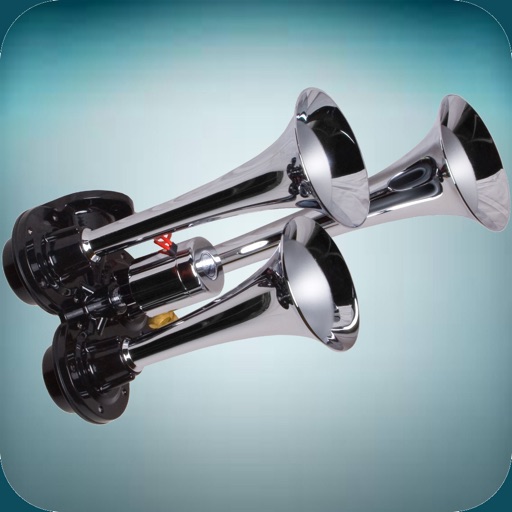
The app offers a variety of loud horn and siren sounds. Users can select sounds like police sirens, air horns, boat horns, and truck horns to use as ringtones or alert sounds.