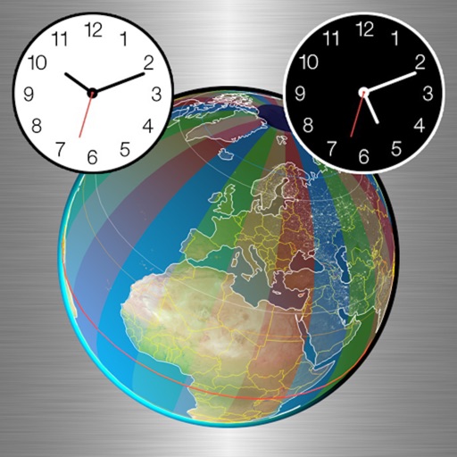
View a world map displaying daylight and nighttime regions. Update every minute. Select date and time to view specific day- distributions. Create animated GIFs showing changes in daylight and nighttime areas over time.
by Volker Vocking★ 4.71,357 ratingsWeatherFreeData updated 2026-09-08
The app provides weather forecasts and severe weather warnings for Switzerland and Liechtenstein. It includes interactive maps, webcams, and information on temperature, precipitation, and wind.
Customize homescreen with themes, animations, and layouts. Add charging animations and personalize for date, weather, quotes, calendar, reminders, fitness, and photos. Adjust designs and layouts for iOS devices.
Reminds users 1-60 minutes before sunset or sunrise based on location. Take photos and add them to a journal with a streak tracker. View how many others have logged the same sunset or sunrise.
View sky simulations and track sunrise/sunset times
Displays a real-time sky simulation showing current weather conditions. Tracks sunrise and sunset times with countdowns. Includes a medium-sized widget for quick access on the home screen.
Search for in cities worldwide. Rename frequently used locations for easier reference. Use Quick Check mode to convert dates and times across saved locations. Send converted times directly to your calendar.
Get real-time UV levels based on current location. View hourly UV forecasts and search for any location. Receive customized sun safety advice based on skin type. Track UV data and learn about sun protection measures. Share UV information with others.
Track with GPS accuracy for driving, cycling, skiing, running, and boating. View real-time data and historical logs. Set limits and receive alerts. Export trip data and share records. Sync with fitness apps for activity tracking.
The app provides weather data from NOAA's National Data Buoy Center, including tide predictions and moon phases. It allows users to view buoy data, save selected, and access location-specific forecasts for planning water activities.
Perform mathematical calculations with support for parentheses and decimals. Save and reuse formulas or results. View calculation history with color coding, dates, and . Calculate totals from selected entries. Move or duplicate history entries.
Track precise location with Decimal Degrees, DMS, UTM, and MGRS formats. Access topographic maps and route planning. Set waypoints and measure distances. Share coordinates via email or messaging. Sync with GPS devices for real-time navigation.