The app allows users to report issues on Utah’s state highways and interstates. Users can drop a marker on a map, answer questions, and include a photo to report concerns like potholes or signal problems.
by Utah Department of Transportation★ 3.398 ratingsUtilitiesFreeData updated 2026-10-23
Report potholes, graffiti, or abandoned vehicles by submitting photos and location data. Add details and submit reports directly through the . View submitted issues and track resolution status.
Report infrastructure issues like potholes or broken traffic signals by submitting service requests with GPS location and photos. Choose from a menu of common issues. Automatically send reports to the City of for resolution.
Report potholes, graffiti, or other road issues by submitting photos or videos. Request information about ongoing projects. View location-based service options via GPS. Upload media to support reports.
Report non-emergency issues like potholes and graffiti. Track request status and view updates. Use a map to see active reports across Boston. Submit photos and descriptions. Receive notifications on progress.
Manage moving crews with electronic contracts and signatures. Receive payments and access dispatch instantly. Track job details and communicate with team members in real time.
Report issues like potholes, graffiti, and illegal dumping to the . Create an account to submit reports and track their status. View submission history and receive updates on resolution progress.
Report local issues using GPS to identify your location. Select from predefined problem categories like graffiti or street maintenance. Upload photos to provide detailed information. Submit reports for city workers to address.
Report community issues like graffiti, illegal dumping, and potholes using GPS location. Choose from predefined concerns or add custom descriptions. Upload photos or videos with reports.
The app allows users to submit and track service requests for City services. Users can report issues like potholes, trash collection, and illegal parking, and receive alerts from the City of Dallas.
Access city services, news, and alerts. Report issues like potholes, missing signs, or downed limbs. Track progress on reported concerns. Receive updates on service status. View community announcements and event schedules.
Report non-emergency issues like potholes or missed garbage collection using GPS location and photo uploads. Add comments and track submission status. Notify users of updates on reported concerns.
Report safety concerns by sending photos, video, and descriptions of issues. Share incident locations and receive real-time responses from dispatchers. Notify community members and authorities about problems in your area.
Report local issues using GPS to identify locations. Choose from predefined problem categories. Upload photos or videos to support requests. Track the status of submitted reports. Submit requests directly to city officials.
Report local issues like potholes and damaged signs using GPS location. Choose from predefined problem categories. Upload photos or videos to support reports. Track progress on submitted requests.
Report non-emergency issues like potholes or light outages by submitting service requests to local authorities. Track responses, engage in public discussions, and view updates on issue resolutions.
Report non-emergency issues like potholes, street light problems, and code violations by adding location and photos. Track report status and view updates. Submit maintenance requests for parks and public spaces. Share feedback on services.
The app allows residents to report neighborhood issues like potholes and flooding. City staff respond to submitted requests and provide resolution updates.
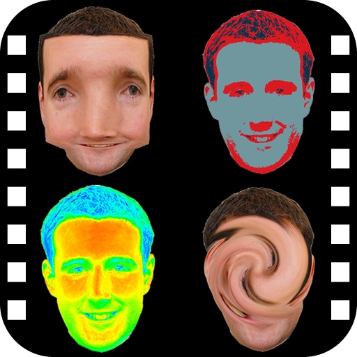
The app provides a photo editing experience with numerous effects. Users can select a picture and apply various filters like Night Vision, Heat Cam, Ripple, and Alien.