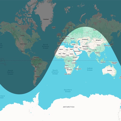
Get directions to any location with accurate navigation. Track your position and movement. View maps and terrain details. Save favorite locations. Share coordinates with others. Set waypoints and follow routes.
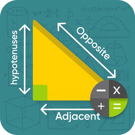
Calculate azimuth, distance, and coordinate differences with DMS or decimal units. Check deviations and field notes. Save and share results via LINE or email.
The app provides access to device GPS functionality, displaying heading, compass, map views, speed, distance, coordinates, and altitude. It also offers weather information including temperature, humidity, pressure, cloud cover, and wind speed.
The app supports glider pilots during competitions, cross-country flights, or recreational flights. It offers features like a final glide calculator, terrain map, and airspace warnings.
Track flight paths and waypoints. Display real-time GPS data and altitude. Set navigation targets and receive turn-by-turn guidance. Monitor weather conditions and air traffic. Save and share flight logs. Sync with external devices for telemetry.
Trace paths on maps to analyze elevation, distance, gradient, and bearing. View elevation and grade profiles of traced routes. Calculate area of arbitrary paths. Use satellite or default map views for terrain study.
Manage devices with real-time signal strength tracking and multiple connection support. Send and receive data through streamlined read/write functions. Monitor active connections and control device pairing settings.