View detailed maps of Norway with accurate trails, sea routes, and city navigation. Search locations and addresses. Use GPS for auto-rotating maps and compass. Download maps for offline use. No advertisements.
by Norgeskart AS★ 4.848 ratingsNavigationFreeData updated 2026-09-08
Provides navigation with detailed vector maps that support zooming at any level. Includes free continuous updates from OpenStreetMap. Helps avoid roaming charges by enabling use.
View maps in multiple styles and overlay grids for precise navigation. Access live location data including coordinates, address, heading, and speed. Plan routes with detailed terrain analysis and save custom waypoints.
Create custom maps and organize locations with multiple pins. Save and share maps with friends or colleagues. Navigate from current location to a chosen destination. Mark visited places and plan delivery routes or walking tours.
Explore the National geology, flora, and fauna from a creationist perspective. Navigate hiking trails with guided maps. Learn about the area's natural features through interactive content and educational resources.
Plan and navigate U.S. Parks with detailed maps and offline access. Explore trails, campgrounds, and points of interest. View operating hours, fees, and boundaries. Download complete content for use without internet.
Provides maps for navigation without internet or roaming costs. Zoom on detailed vector maps with continuous updates. Locate points of interest and plan routes. Save data usage by avoiding mobile networks.
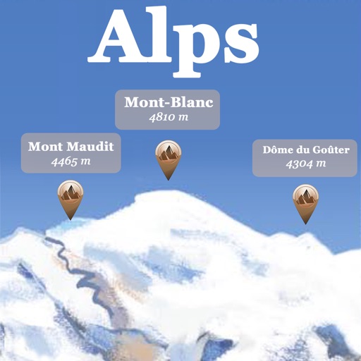
The app references over 20,000 peaks, passes, lakes, and shelters in the Alps. Users can find names, altitudes, and distances to summits and locate various points of interest on a 2D map.
Explore Swiebodzin with interactive maps and trails. attractions, monuments, and hiking paths. Access bike trails and military monuments. Participate in quests to learn about history and local legends. View wildlife and nature spots.
Provide real-time GPS navigation with turn-by-turn voice guidance and live traffic updates. Display speed limits and alert drivers to traps. Access offline maps for areas without internet. Share routes and track progress during trips.
Navigate with pinpoint accurate maps and real-time positioning updates. Plan hunts using advanced tools. Track movement and stay connected with hunting companions. Share location and receive alerts for safety.
Track outdoor activity with GPS navigation, add waypoints and routes for navigation. Plan routes with altitude data and adjust as needed. Capture moments and save maps for future reference.
View maps for Belo Horizonte, Brasilia, Porto Alegre, Recife, Rio de Janeiro, Salvador, and Sao . Access maps offline. Tap to fullscreen, double-tap to zoom, swipe to move, two-finger swipe for full zoom. Show user location and use AR view.