The app logs real-time location data at user-defined intervals. Journey information displays on a map or through a CSV and GPX viewer, with routes exportable via email and clipboard.
by ZONK TECHNOLOGY LTD★ 0.00 ratingsNavigationFreeData updated 2026-10-21
The app provides current FAA aviation charts updated every 28 days, including approach plates for the USA. It offers VFR, IFR, and other chart types, with METAR/TAF and IFR overlays.
Plan and navigate flights with interactive aviation maps featuring high-resolution worldwide coverage and offline support. Track real-time GPS positions with moving maps.
The app provides real-time updates on deliveries, including errors and location tracking via GPS. It also records customer signatures and allows drivers to photograph damaged deliveries or property.
Survey points, lines, and polygons with GPS tracking. Log full GPS data for fields. Create quickmarks during surveys. Visualize data in map view. Use internal or external GPS devices.
Share real-time via temporary weblink. nd send links through apps, emails, or messages. Set expiration time for links. No data stored beyond specified timeframe. Requires GPS for accuracy.
The app provides worldwide marine and outdoor maps, including USA marine charts, lake maps, and parks. Users can download charts for offline use, overlay satellite and terrain features, and access interactive weather forecasts.
The app records and stores blood pressure and pulse readings, allowing users to add notes and edit entries. It generates daily and monthly graphs to help detect irregularities.
The app allows valet and parking companies to collect cash or credit card transactions onsite using an iPhone. Data is viewable in realtime via the QuikPark Dashboard and all reports are exportable.
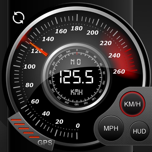
Record data including , average , distance, altitude, and elapsed time. View real-time GPS tracking with longitude and latitude. Monitor statistics and save history. Sync with devices for offline navigation.
The app converts between DMS, DM, DD, UTM, and MGRS coordinate systems. It provides real-time GPS coordinates and calculates the distance between two points.
View topographic of with detailed scale options and lake depth information. Access property data via in- purchase. Download for offline use. Navigate using precise map data and location features.