Apps Like Utility Data Collection for iPhone and iPad
Collect utility data with GPS/GIS.
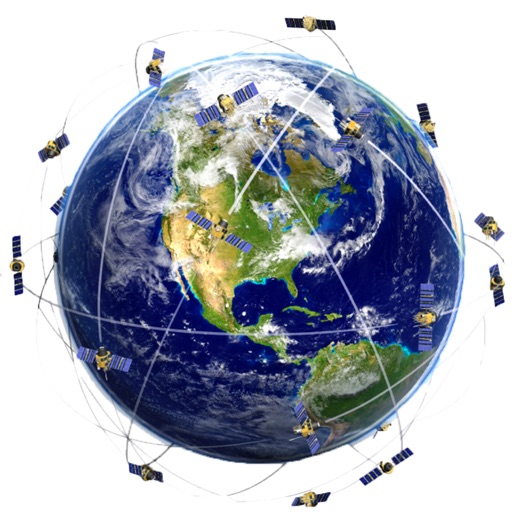
The app collects utility asset management and meter reading data using GPS/GIS mapping. It allows users to record locations, conditions, and attach photos to surveyed items, and import/export data for meter routes and readings.
by Corvallis Microtechnology, Inc.★ 0.00 ratingsUtilities$94.99Data updated 2026-10-20
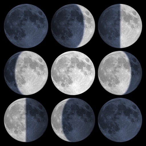
Calculate sunrise, sunset, moonrise, and moonset times based on GPS location or selected locations. Track moon phases and twilight times. Save multiple locations and sync calendars for upcoming events. Support timezone selection and iPad Split View.
The app collects field data, including markers, tracks, photos, videos, and audio clips, in areas without a cellular or data signal. It syncs data in near real-time with desktop software via Wi-Fi or a data connection for analysis and collaboration.
Report infrastructure issues like potholes or broken streetlights by capturing photos and submitting service requests via GPS. Track the status of your report from submission to resolution.
Monitor , air pressure, and oxygen levels in real time using GPS and sensor data. Customize theme and background. Track environmental changes with precise measurements and dynamic updates.
Visualize elevation, slope, and contours in 3D. Export data to DXF, SHP, CSV, OBJ, glTIF, and STL. Analyze terrain features and integrate with AutoCAD and GIS software. Perform quick data exports and simplify complex GIS tasks.