The app displays temperature, weather, and wind details for the current location. Users can move the map to update information, including temperature in Fahrenheit, Celsius, and Kelvin, wind direction and speed, air pressure, and humidity.
by NAOMITSU TSUGIIWA★ 0.00 ratingsWeatherFreeData updated 2026-10-20
Track weather conditions at fishing locations using real-time observations and . Access local weather data from Tempest Weather Systems and government sources. View Nearcast predictions and supplement with reports from AWOS, ASOS, METAR, and NWS.
Monitor air quality, temperature, and humidity from sensors. Receive real-time alerts and enable AirNow stations for additional data. Track AQI levels and view detailed sensor information.
Tap on a map to view spot-specific forecasts. Check , sky, wind, and wave conditions. Access severe advisories and offshore zone summaries. View hourly tides and interactive tide graphs.
View global forecasts for up to 15 days with daily temperature ranges, precipitation, wind speed, humidity, and UV index. Track sunrise, sunset, moonrise, and moonset.
View marine forecasts for U.S. coastal zones. Check wind speed, wave height, and surf conditions. Access one-touch NOAA forecasts for today, tonight, and the week. Add locations for custom alerts.
Check current and 10-day forecast with animated visuals. View realistic rain, snow, and storm effects. See sun rays, moonlight, stars, and moving clouds. Toggle between day and night modes. Share updates directly.
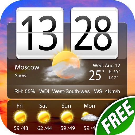
The app provides weather reports for over 5 million cities, including a four-day forecast. It displays current weather conditions with dynamic backgrounds and includes a world clock with voice alerts.
Check current and 24-hour forecasts. View 15-day predictions with detailed rain, storm, ice, and snow alerts. Receive real-time updates for local conditions. Plan activities based on accurate data.
Displays current temperature in both Fahrenheit and Celsius simultaneously. Shows real-time weather conditions. Includes precipitation and wind details. Allows users to toggle between metric and imperial units. Provides location-based forecasts.
View and download NOAA electronic navigational for offline use. Access in NOAA or ECDIS formats. Overlay NOAA weather for real-time conditions. Display buoys, beacons, lights, and natural/man-made features. Track radar and fog signals.
Displays a 2-day with a color-coded gradient. Swipe up to view hourly patterns. Colors represent temperature, humidity, and sunrise/sunset times. Users can plan activities based on color indicators.
Check current conditions, including temperature, precipitation, and wind speed. Access a 16-day for upcoming trends. View live maps for real-time rain tracking. Set location-based alerts for changes. Share updates via social media.
View real-time maps showing precipitation types like rain, snow, and hail. Access detailed 24-hour and 14-day forecasts for any location. Receive severe weather alerts and track current conditions globally.
View outdoor temperature, humidity, and current time. Receive automatic updates at regular intervals. Access real-time data for any location worldwide.
Access nautical charts, view tide predictions, and check weather forecasts. Locate marinas, fuel stations, and points of interest. Share real-time updates and connect with other boaters for navigation tips and safety alerts.
Provide current and hourly updates for your location. Display 12-day forecasts for planning. Include sunrise and sunset times. Offer precise location-based alerts. Track temperature, precipitation, and wind conditions.
View current weather conditions including temperature, humidity, wind speed and direction, precipitation, solar radiation, and soil data from 560+ stations. Access 24-hour historical observations and hourly forecasts.
The app provides worldwide weather details, including wind, precipitation, and wave data. It offers forecasts up to 16 days and can be used offline, with GRIB files downloadable via various connections.