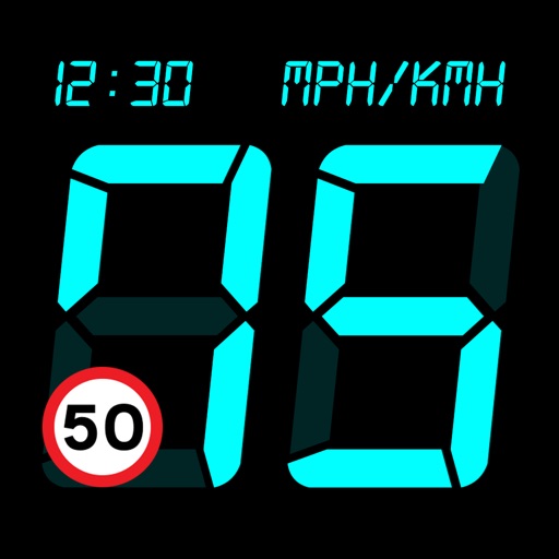
Displays current speed, longitudinal and transverse slope, and ascent/descent percentages. Switch between normal and HUD modes for windscreen reflection. Verify vehicle speed during cycling, running, flying, or sailing.
Track GPS and GLONASS satellite data including position, accuracy, speed, altitude, and orientation. Save and navigate to locations using coordinates or real-time data. Use a compass with magnetic and true north, a leveling tool, and waypoints.
Monitor and altitude using the device's internal sensor. Track changes to predict weather patterns. Provides altimeter readings for elevation awareness.
Save locations with exact GPS coordinates and altitude. View real-time weather and wind data. Use the compass for accurate direction tracking. Organize saved points and share coordinates directly.
Monitor device with real-time data display and graphical charts. View text output and detailed descriptions for each sensor. Perform sensor tests and check parameters. Export data for analysis.
Allows users to add to the for quick access. Launch apps, shortcuts, URLs, or music with one touch from the , control center, or action button. Customize icon appearance and tint.
Create memos with text input, organize notes into three tabs: memo, remarks, and history. Use remarks for additional notes or drafts. Track note history for reference and editing.
Navigation provides GPS tracking, map navigation, and route planning. Includes tools, field manuals, and live conflict updates. Users can access guides, track locations, and receive real-time news.
Monitor network status and device information. Clean storage with phone and tablet . Block Safari ads. View battery and charging animations. Access photo editing tools. Securely store sensitive data in a vault.
Track multiple stopwatches simultaneously using normal or sprint modes. In sprint mode, only one stopwatch runs at a time, pausing others when started. Adjust timing settings and use haptic feedback for precise control.
Remove from images using AI-powered cutout. Select between "Star" mode for edge detection or "Auto" mode for pixel-based erasing. Save transparent images for use as stickers in other apps.
View real-time GPS maps and switch between map and views by holding the device. Track heading, , altitude, latitude, longitude, speed, and temperature. Use a for accurate navigation and monitor speedometer and temperature readings.