Apps Like Cyclone - hurricane tracker for iPhone and iPad
Real-time weather insights and visuals.
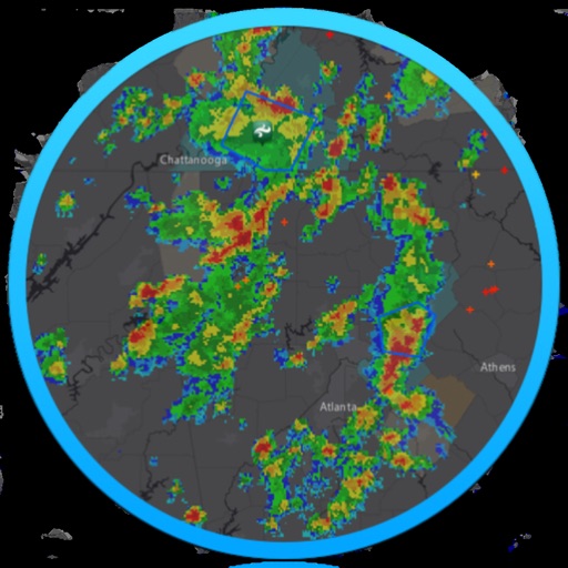
The app provides live satellite imagery for various regions, including North America and Europe. It tracks storms worldwide with precise projected paths and detailed forecasts, offering a complete view of weather conditions.
by Elecont LLC★ 4.597 ratingsWeatherFreeData updated 2026-10-19
The app delivers local news, weather forecasts, traffic updates, and sports coverage for the California Coastal region. It serves Santa Barbara, San Luis Obispo, and parts of Western Ventura Counties.
The app provides Hong Kong weather information including warnings, forecasts, and observations. Users can access animated radar, satellite imagery, webcams, and typhoon tracking with real-time push notifications.
Check current weather conditions and forecasts for multiple locations. View hourly, daily, and weekly predictions. Access radar maps and track storm movements. Monitor humidity, UV index, and temperature trends.
Access real-time data and satellite imagery from multiple sources including Clear Sky Charts, Clear Outside, Meteoblue, Windy, Astrospheric, and Sat24. View water vapor images and track wind patterns.
View current and forecasted weather with detailed radar and maps. Share real-time updates and photos. Track severe weather alerts. Participate in crowdsourced weather reports. Save favorite locations. Receive notifications for changing conditions.
Monitor activity and space weather events. Receive alerts for potential hazards. Track radiation levels and geomagnetic storms. Provide safety recommendations for travel and infrastructure.
Provide current and hourly updates for your location. Display 12-day forecasts for planning. Include sunrise and sunset times. Offer precise location-based alerts. Track temperature, precipitation, and wind conditions.
View forecasts by locking the screen using Live Activities. Display information on Dynamic Island with floating icons. Get accurate 15-day forecasts for temperature and wind direction.
Receive alerts pushed directly to your device from the National Service. View real-time imagery and scroll through live system thumbnails. Access data and track storm movements across multiple devices.
Access real-time data including METAR, TAF, and NOTAM reports for 50,000+ airports. View satellite maps and decoded information. Filter nearby airports by runway length and METAR/VFR availability. Save favorites and organize into groups.