Navigation provides perpetual almanac and star finder chart with animation. Calculates lines of position, object data, and meridian passage. Supports running fixes and astronomical position calculations with multiple star observations.
by Omar reis★ 3.25 ratingsNavigationFreeData updated 2026-09-08
Displays real-time tidal stream data based on the nearest Devonport high water time. Shows hourly streams charts valid for specific periods. Allows users to view tide set and interpolated rates. Functions fully offline without internet connection.
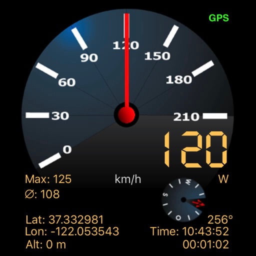
Monitor speed and distance with real-time GPS tracking. Switch between car and bike cyclometer. View average and max speed. Adjust units to mph or km/h. Check GPS accuracy and distance precision. Track time elapsed and altitude.
Navigation provides altitude estimates using device location service for general use. It offers barometric altitude tracking with iPhone 6 or newer, allowing precise relative elevation changes.
Displays current location and altitude. View coordinates in UTM, DMS, MGRS, and others. Access location within the , Apple Watch , or as a complication.
Calculate pressure at the target DZ using the method. Input the DZ altimeter setting and other required parameters. Display results for use with the in Operational Mode. Perform calculations without needing the physical circular .