Find public transit stations and view upcoming departures with two taps. Track vehicle locations and see predicted departure times where real-time data is available. Get directions and plan routes between locations.
Navigate buildings and locations using detailed . Search for classrooms, facilities, and services. Get directions between locations. View real-time updates and event schedules. Sync with calendars. Share with others.
Find ethanol-free gas stations sorted by distance. View map to locate stations. Get driving directions to selected stations. Track and save fuel mileage and trip distance at each fill-up.
Track family members' locations using numbers worldwide. Share real-time positions on a map with privacy settings. Find contacts with the and permissions. Monitor battery levels. Securely manage tracking and privacy.
Pay for remotely without street meters or receipts. Extend sessions manually or automatically. Receive expiration alerts and pay fines if applicable. View all sessions and payments in real time.
Navigate using with real-time and landmark visuals. Access Google Maps integration for route planning. Explore 3D imagery of global locations. Walk through famous sites virtually from your device. Stay updated with enhanced map features.
Measure distances by drawing routes on the map and calculating their length. Use a magnifier tool for precise line drawing. Switch between Move and Measure modes to set starting points or begin measurements immediately.
View real-time bus arrival times at stops across England, Scotland, and Wales. Check next bus departures using official timing data. Save custom routes with tube stop integration. Update preferences for Dynamic Type and improved performance.
Determine Qibla direction using current location or manual city selection. Display compass rose with north indicator. Show direction on map. Adjust settings for display preferences. Provide feedback option for user input.
Navigate with detailed worldwide maps and topographic contour maps. Access offline maps and voice guidance without internet. Plan routes online and use GPS for navigation. View travel guides and avoid data roaming charges.
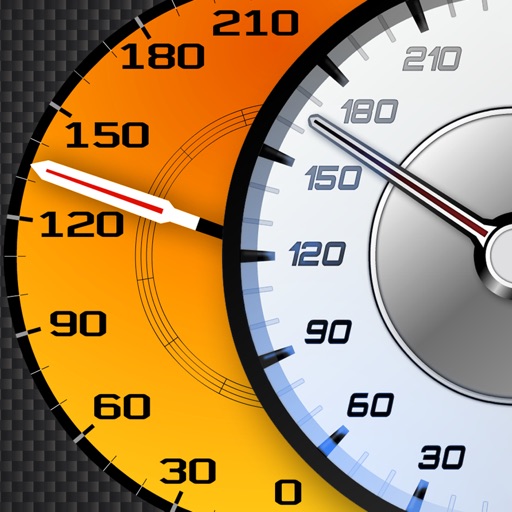
Track vehicle speed using GPS or simulation mode. View detailed speedometer displays with realistic graphics. Hear authentic engine during acceleration. Explore speed data from popular supercars.
Plan rides using snap-to-destination navigation. View vehicle service history and maintenance reminders. Schedule service appointments. Access vehicle and riding details for trip planning. Connect with a community for riding tips and support.
Find fishing spots with of rivers, lakes, and streams. View property boundaries to stay legal. Locate access points, boat ramps, and local shops. Use the River Measuring Tool to track conditions and log fishing success.
Locate nearby stations and view real-time estimated departures. Select any station to check its upcoming train times. Get accurate arrival estimates for each train.
Find validated locations from local merchants. Pay for and extend time directly from your phone. Receive alerts to avoid overpaying or getting tickets. Save money by using validated options.
Find and share locations with a map interface. Pin locations to view coordinates or addresses. Select transportation options to share real-time location updates. Quickly check current location or specific destinations with minimal clicks.
View and navigate updated -MAP charts worldwide. Explore, plan, and save Points of Interest and Routes. Use Autorouting to find optimal paths. Access chart layers and track progress. Share routes and points with others.