Receive severe alerts and view real-time radar tracking storms at street level. Watch local video forecasts and impact days to plan activities. Access hourly and 10-day forecasts from meteorologists. Use FutureView technology to track changes.
Receive live warnings with real-time tracking across all 50 states. View active warnings with polygon boundaries on maps. Access affected population and county data. Get daily activity summaries.
Navigate using synchronized and map. Designate points by holding. Create routes and add multiple pins. four map types and traffic. Share locations. Search for places. Switch between portrait and landscape modes.
View real-time images and conditions with zoom functionality. Track rain, storms, and fronts. Access precise forecasts for any global location. Monitor changing patterns and receive updates instantly.
View real-time camera images and incidents in major US cities and Singapore. Track daily commutes to receive alerts about disruptions on frequent routes. Access official data in the US, Australia, and Western Europe.
View animated weather images with high-resolution displays and predictive capabilities. Access severe weather warnings and snow/mixed precipitation indicators. Choose color schemes and toggle snow display options.
Allow users to explore locations without an internet connection. They include detailed global with millions of points of interest. Users can download for use and bookmark favorite locations. GPS tracking enables recording of travel routes.
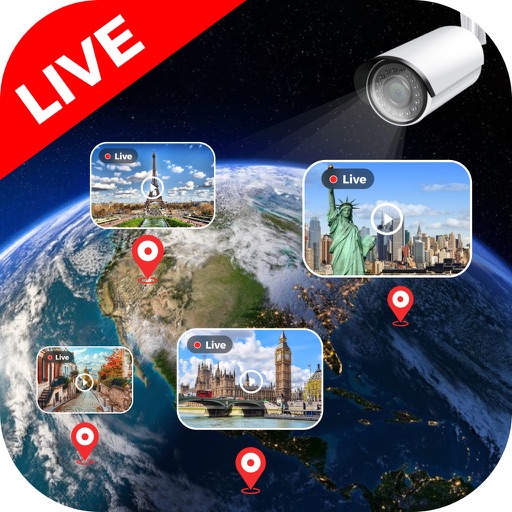
View feeds from global locations including landmarks, cities, and natural sites. Browse cameras by country. Adjust stream quality and save clips. Share streams via social media or messaging apps.