
Apps Like SpyMeSat for iPhone and iPad
Access commercial and unclassified satellites.
The app provides real-time imaging satellite overflight notifications and on-demand access to recent high-resolution satellite images. Users can request an imaging satellite to capture a new picture.
SpyMeSat screenshots
Ranked alternatives
Showing 201–220 of 1,000 ranked alternatives.
Area Calculator Pro +
Nicolas Schotten
Calculate between map pins
Calculate areas between map pins. Create and move pins to adjust the . Locate yourself and add pins with one click. Search for places. Save and load data. Choose between standard, satellite, and hybrid map views.
Orbit Architect
a.i. solutions, Inc.
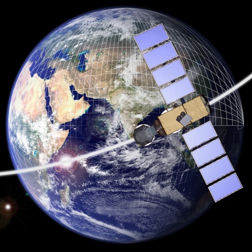
Design and explore satellite orbital geometry interactively.
The app lets users design and explore satellite orbital geometry using an iPad's multi-touch interface. Users can manipulate orbits with gestures, see real-time effects on orbits and ground tracks, and animate results.


KVH mini-VSAT Broadband
KVH Industries Inc.
Track satellite connections and manage data traffic
Monitor satellite coverage and network status in real time. Check connection speed and signal strength. Manage device settings and view location data. Receive voice and data traffic through the satellite network.


Merge HoloGlobe
Merge
Explore Earth's data in 3D
Explore real-time satellite data and simulations of Earth's systems using a Cube. Rotate 3D models of the planet, view atmospheric layers, and track weather patterns.




GNSS View
NEC Corporation
Track satellite positions in real time
Satellite positions in real time using the Quasi-Zenith Satellite System. Identify satellite orbits and track their movement. Access detailed information about each satellite's location and status. Share satellite data with others via social media.


Thermal Camera Filter: Guide
Quiz Night Limited
Apply filters in real time
Turn your iPhone into a imaging tool. Apply real-time -style filters to photos and videos. Learn about and low-light technology through visual guides. Discover practical use cases like wildlife photography and safety demonstrations.


Light Pollution Map
Jurij Stare
View VIIRS data and track
View VIIRS and DMSP satellite data with customizable overlays including clouds, auroras, and IAU observatories. Display SQM and SQC measurements for . Add personal SQM readings via email. Track radiance changes over time.

Prepry - Radiography Exam Prep
Imago AI LLC
Study exams with targeted questions
Study for the ARRT® with adaptive learning and a question bank covering all essential topics. Access over 1,550 -focused questions and 250+ detailed imaging visuals. Review spaced repetition flashcards and track progress with detailed analytics.

TigerView Cloud
Televere Systems, LLC
View and share medical images securely
View and annotate medical images remotely. Access DICOM files from storage. Share images with colleagues. Support for multiple industries including veterinary, dental, and chiropractic. Export and print images. Collaborate on case reviews.

Satellites
Yuriy Kvasha
Find satellite parameters easily now.
The app provides a database of TV satellites. It displays channel names, radio stations, providers, encoding, frequency, polarization, FEC, and Symbol Rate.

iGPS
Ynfo SAS di Graziano Gennaro & Co.
Access GPS and weather information.
The app provides access to device GPS functionality, displaying heading, compass, map views, speed, distance, coordinates, and altitude. It also offers weather information including temperature, humidity, pressure, cloud cover, and wind speed.
How we rank alternatives
Apps are ranked by functional similarity, category fit, rating confidence, and popularity.