The app displays the user's current location on a sightseeing map of Nara, marking places of interest. Users can select different language versions of the map, including English, Korean, and Spanish, or a cycle route map.
by koji otani★ 0.00 ratingsNavigationFreeData updated 2026-10-18
Explore cities with self-guided walking tours featuring popular attractions and hidden spots. Navigate using a detailed city map to find points of interest. Follow step-by-step routes and discover locations at your own pace without additional costs.
View topographic of for hiking, camping, and outdoor activities. Choose between Base Map and Toporama sources. Download for offline use. Track location, elevation, and movement on the map.
View real-time transport in Krasnodar on a map. Filter by route number and select specific vehicles. See departure times and countdowns at stops. Locate stops and add routes or stops to favorites.
Save locations with names and map previews. Add places manually, from contacts, or via shared map links. Navigate to saved locations and view detailed maps. Organize and revisit favorite spots efficiently.
"Access maps for global navigation. Zoom and explore detailed vector maps. Avoid roaming charges with local data usage. Find nearby points of interest and locations."
Create and organize travel itineraries with route planning and map integration. Add notes, save stops, and track progress. Share trips and access travel details directly from the .
"Access detailed maps for global navigation. Zoom at any level with vector maps. Avoid roaming costs with functionality. Locate nearby points of interest and plan routes without internet."
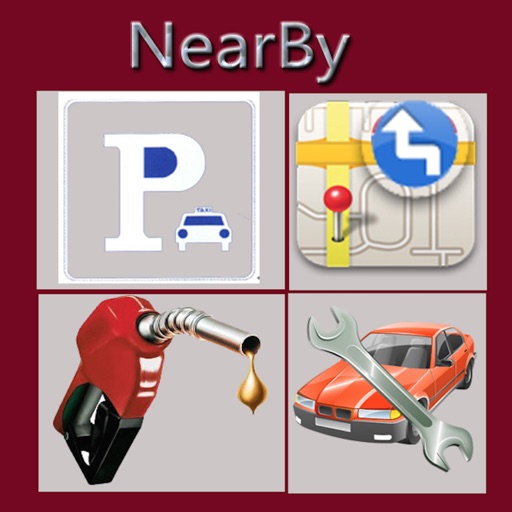
The app displays nearby points of interest such as gas stations, restaurants, and banks. It shows a compass on the map and provides routes to selected destinations.
Create custom by adding or excluding search terms. Perform multiple searches at once to view results on a single map. Tap places for details and open in Apple for additional information.
Display a compass overlay on the map. Navigate with turn-by-turn directions. Show current speed, altitude, and heading. Indicate device orientation with a level feature.
Provides maps for navigation without internet connection. Zoom in and out on detailed vector maps. Avoid roaming charges with local data usage. Locate nearby points of interest and navigate to specific addresses.
The app provides professionally designed sightseeing tours for over 100 cities. It uses GPS to identify the user's location and offers audio descriptions of nearby attractions from local guides.
Provides maps for navigation without internet or roaming costs. Zoom on detailed vector maps with continuous updates. Locate points of interest and plan routes. Save data usage by avoiding mobile networks.
Navigate with detailed vector maps that support zooming at any level. Find locations and points of interest. Avoid roaming charges by using the without an internet connection. Sync with OpenStreetMap for continuous updates.
Provide maps for navigation without internet connection. Zoom into detailed vector maps with continuous updates. Locate points of interest and plan routes. Avoid roaming charges by using local data. Save data usage with functionality.
The app provides live and replay tracking for outdoor sports events, including sailing, rowing, and cycling. It displays real-time information such as rankings, speed, and heading on a 2D map, and includes weather forecasts.
Explore self-guided walking tours of the city with detailed routes to famous attractions and hidden spots. Use the built-in map to navigate, find points of interest, and track your progress.