The app provides aviation navigation for Southern Africa with a GPS moving map and detailed airfields database. It includes airspace information, flight planning, and an E6B calculator for enhanced situational awareness.
The app allows users to search for geocaches using the Geocaching Live API or by importing GPX files. All geocache data is stored locally for offline use, and users can log finds and trackables within the app.
The app tests network performance for Content Delivery Networks, device connections, and internet speeds. It offers location support, full test history, GZIP support, and time/speed details.
The app provides a PDF document viewer with features for annotation, highlighting, linking, sharing, and printing. It supports adding PDF documents via iTunes file sharing or a desktop browser and includes library management.
The app calculates fundamental vibration frequencies for rolling element bearings. Users can select bearings by geometry or model number to see results in CPM and Hz.
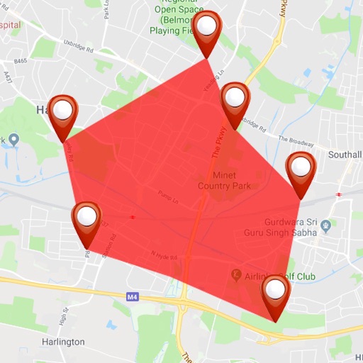
The app displays the orientation of reference areas on a map. Users can view cardinal orientations at 30°, 60°, or 45° intervals, with 12-direction display supported.
Track amateur radio activities with callsign lookup and real-time uploads to HRDLOG.net or Ham365. Export logs in ADIF, EDI, CSV, or Cabrillo formats. Access DX cluster and plan DX-peditions.