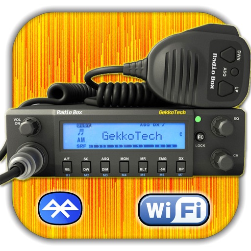
The app displays information from the international DX Cluster, used by radio amateurs to find stations on the air. It shows DX spots with details like callsign, country, frequency, and time, and includes various HAM radio tools.
Remove duplicate and similar photos and videos through smart comparison. Delete screenshots, Live Photos, burst photos, and videos with a few taps. Organize contacts by merging duplicates and cleaning up contact information.
Track and dive events with real-time results and schedules. View competitor details, race times, and meet standings. Access photos and videos from the event. Receive updates on meet dates and locations. Submit scores and results through the .
View current location in UTM or lat/lon formats. Record and save waypoints. Track movement with up to 40 tracklog points. Navigate using GPS for hiking, mountain biking, and kayaking. Switch between coordinate systems. Store up to 3 waypoints.
Simulates a retro scientific calculator with RPN input. Features a 10-digit LED display, four stack registers, and a storage register. Includes math, trigonometric, and logarithmic functions. Displays results in polar/rectangular formats.
The app calculates the shortest distance or distance with a constant bearing between two locations. Users can select current location, enter coordinates, or choose from a database.
Navigate using real-time maps and track geocaches with detailed location data. Store geocache information including logs, waypoints, and images locally. Import GPX files or pocket queries. Access over two million geocaches directly via API.
The app provides worldwide marine and outdoor maps, including USA marine charts, lake maps, and parks. Users can download charts for offline use, overlay satellite and terrain features, and access interactive weather forecasts.
Configures B.B. Bluetooth adapter for pairing with Kenwood TH-D74 or TH-D75 radio. Enables Bluetooth Classic connection between radio and iOS device via BLE.