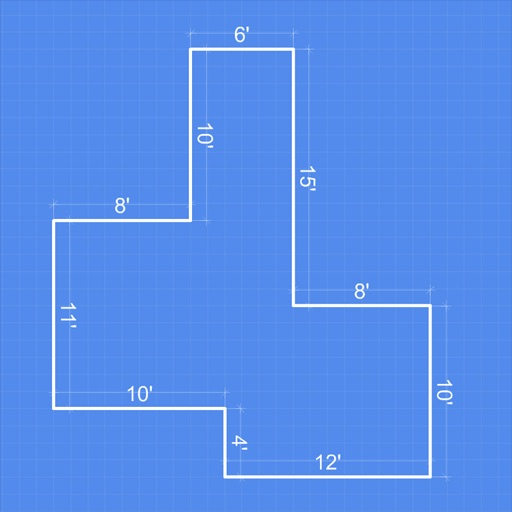
TrueFall Field Mapping app icon

Apps Like TrueFall Field Mapping for iPhone and iPad

by Shawn Montgomery★ 0.00 ratingsSports$4.99Data updated 2026-11-06

TrueFall Field Mapping screenshots

Ranked alternatives

Showing 21–40 of 1,000 ranked alternatives.

  1. Spartan Forge: Hunt app icon

    Spartan Forge: Hunt

    Spartan Forge LLC

    Find land boundaries and units

    Plan hunts with detailed LiDAR maps, satellite imagery, and deer movement predictions. Access land boundaries, ownership data, and parcel change alerts. Customize LiDAR layers and overlay crop data for strategic scouting.

    ★ 4.3648 ratingsNavigationFreeData updated 2026-11-06
  2. Measure Map app icon

    Measure Map

    Xuan Luong Do

    Distance between two points

    Distances between two or more points on a map. Place markers to calculate straight-line distance. Sum total distance for multiple locations. View distance in kilometers or miles.

    ★ 4.75,293 ratingsUtilitiesFreeData updated 2026-09-13
  1. InfiniteHoops Whiteboard app icon

    InfiniteHoops Whiteboard

    Broadside LLC

    Illustrate basketball game plays easily.

    The app allows users to draw basketball plays on full or half court diagrams. Users can select from three levels of diagrams and six colors to illustrate plays, then save and email them.

    ★ 4.7891 ratingsSports$4.99Data updated 2026-11-02
  2. HuntSmart: Trail Cam App app icon

    HuntSmart: Trail Cam App

    Good Sportsman Marketing, LLC

    View, share, and analyze camera footage

    Manage camera photos and videos with . View, share, and analyze images. Configure cameras remotely. Combine weather and solunar data for pattern recognition. Request high-definition media on demand.

    ★ 4.512,018 ratingsPhoto & VideoFreeData updated 2026-09-19
  3. onX Backcountry: 3D Trail Maps app icon

    onX Backcountry: 3D Trail Maps

    onXmaps, Inc.

    Plan hikes, ski routes, and bike trails

    Plan outdoor activities by accessing HD topographic maps and reports. Navigate with GPS tracking and toggle map layers to view hazards. Scout new trails for hiking, skiing, mountain biking, or climbing. Save and share route data offline.

    ★ 4.86,564 ratingsNavigationFreeData updated 2026-11-06
  4. EduVenture-AI app icon

    EduVenture-AI

    Centre for Learning Sciences and Technologies, The Chinese University of Hong Kong

    GPS assisted outdoor learning system

    The app facilitates outdoor learning and teaching using GPS-location based systems. Teachers create materials with web-based tools, and students experience self-directed learning with multimedia questions and answers.

    ★ 0.00 ratingsEducationFreeData updated 2026-11-06
  5. PackTrack App app icon

    PackTrack App

    Canine Development Group, Inc.

    Track and record K9 training sessions

    Track and record K9 training and deployment activities. Log detailed training sessions, monitor progress, and document canine performance. Capture data for court use. Share reports and manage team assignments. Set reminders for training schedules.

    ★ 5.05 ratingsProductivityFreeData updated 2026-09-08
  6. Coach Board - CoachKit app icon

    Coach Board - CoachKit

    Mohamed Aberkane

    Plan training sessions with animated drills

    Plan training sessions with animated drills and customize with player numbers, initials, and pictures. Use AI to create drills tailored to players and weather conditions. Track player performance and manage team rosters.

    ★ 4.3147 ratingsSportsFreeData updated 2026-09-06
  7. Cyclemeter Cycling GPS Tracker app icon

    Cyclemeter Cycling GPS Tracker

    Abvio Inc.

    Track rides, measure stats, plan training

    Track metrics like speed, distance, cadence, power, heart rate, and elevation. Customize training plans and view live biking data. Sync with Apple Watch. Log workouts for , running, hiking, and other activities.

    ★ 4.718,485 ratingsHealth & FitnessFreeData updated 2026-09-08
  8. GPS Land Measurement & Survey app icon

    GPS Land Measurement & Survey

    LOGISIAN TECHNOLOGY SOLUTIONS PRIVATE LIMITED

    Measure areas and distances

    Measure areas and calculate distances using GPS. Draw polygons on maps to calculate field areas. Save and share data. Access detailed maps and satellite imagery for accurate surveying.

    ★ 4.53,003 ratingsUtilitiesFreeData updated 2026-09-08
  9. Gun Breaker - Idle Gun Games app icon

    Gun Breaker - Idle Gun Games

    Meko Games PTY LTD

    Shoot, upgrade, and conquer levels

    Play to test shooting skills with 100,000 levels. Select from 50 guns and unlock mini . Use power-ups and upgrade gun turrets. Progress through levels by tapping to destroy targets.

    ★ 4.77,198 ratingsGamesFreeData updated 2026-09-15
  10. Rhythm Skydiving 101 app icon

    Rhythm Skydiving 101

    Rhythm Skydiving LLC

    Learn to skydive with videos and flashcards

    Learn techniques with instructional videos, diagrams, and flashcards. Access audio recordings and documents for pre-jump preparation. Review procedures for dropzone arrival and group jumps. Track progress through interactive content.

    ★ 4.9547 ratingsSportsFreeData updated 2026-09-10
  11. Travel Camera & Compass app icon

    Travel Camera & Compass

    Ha Nguyen

    Capture photos, track location, navigate routes

    Take photos with location tagging for automatic geolocation. Use the for navigation and orientation. Capture and save moments with optimized settings.

    ★ 4.712,353 ratingsUtilitiesFreeData updated 2026-09-24

How we rank alternatives

Apps are ranked by functional similarity, category fit, rating confidence, and popularity.