The app allows users to draw and design with various line weights, colors, and types. It includes tools for adding text, different paper grids, and saving or exporting drawings as pictures or PDFs.
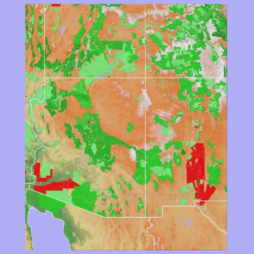
The app provides 3D topographic maps for iPad and iPhone. Vector map data is contained within the app for offline use, supporting navigation in various environments.
Create notes using voice commands, Apple Watch, or in- dictation. Attach images, PDFs, videos, and files. Draw sketches directly. Access notes via home screen widgets or clipboard capture.
The app provides map display for land and sea with multiple map layers including OpenStreetMap and Apple Maps imagery. It offers features like offline map data, places of interest search, and waypoint management with GPX file support.
The app provides access to climbing and backcountry skiing guidebooks on a mobile device. Guidebooks are available for offline use after download and offer turn-by-turn trail navigation to climbs using the device's GPS.
Plan routes, share locations, and navigate off-grid
Plan and execute missions with real-time GPS navigation, coordinate teams through integrated communication tools, and manage tasks with mission-specific software. Track location, receive alerts, and access offline maps for remote operations.
Locations for , , platinum, and gemstone mines. View locations on a map. Access a global database of over 100,000 sites. Search by region or mineral type. Save and share mine locations.
Navigation provides GPS tracking, map navigation, and route planning. Includes tools, field manuals, and live conflict updates. Users can access guides, track locations, and receive real-time news.
Plan daily tasks and set goals with a clean, customizable journal interface. Sync with Apple Calendar and iCloud. Use handwriting search, background removal, stickers, and instant frames for notes. Secure with Face/Touch ID.
Navigate with marine and outdoor offline. Overlay satellite and terrain data on charts. Access local weather forecasts. View worldwide and satellite imagery when connected. Use NOAA raster data for detailed navigation.
Plan hikes by downloading detailed topographic maps for offline use. Access IGN, SwissTopo, and OpenTopo basemaps. Track routes, view elevation data, and navigate with precise geographic information. Share maps and waypoints with others.