

Apps Like MeasureGeo for iPhone and iPad
MeasureGeo screenshots
Ranked alternatives
Showing 241–260 of 1,000 ranked alternatives.


Solocator - GPS Field Camera
Civi Corp Pty Ltd
Capture photos with location and time stamps
Capture and stamp photos with GPS position, direction, altitude, and timestamp. Add notes including project name, photo description, company or username, and logo via in- purchase. Overlay location data directly on images for accurate documentation.

DistanceCalculator - Map tool
Mapnitude Company Limited
Measure distance on the map
Measure distance on a map with accurate earth curvature calculations. Plan routes and find shortest paths. Track distance hands-free with automatic location following. Edit paths by adjusting points or values in-.

Scenic Map Central USA
Mark Granger
Explore 3D maps offline worldwide
Navigate with a 3D topographic map of the USA. View detailed terrain and vector data offline. Use in vehicles or during outdoor activities. Access global maps online with automatic caching for offline use.
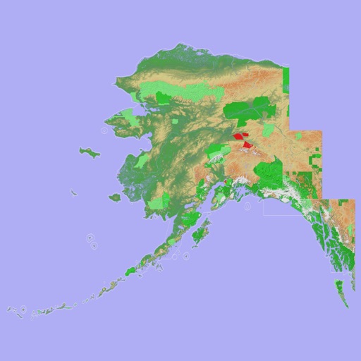
Scenic Map Alaska
Mark Granger
Explore 3D topo maps offline
View 3D topographic maps of offline with vector data. Navigate by car, boat, plane, or on foot. Access worldwide satellite maps online with automatic caching. Toggle between map types and zoom to any location.

Maplet - Location Pins
Gemsheer Chalil
Save locations with and notes
Save and organize locations with titles, notes, photos, and voice memos. Create folders to group locations. Share across major map apps. Track and manage work sites, travel stops, or personal places. Set private access and view details.


My GPS Area Calculator
MYSTIC MOBILE APPS LLC
Measure spaces with GPS or manual points
Measure areas using GPS or manual map points for accurate calculations. Switch between and distance modes. Save measurements for later access. Use compass navigation for directional guidance.

Location Changer Save Share AI
CEBINDEKI PAZAR E-TICARET ALISVERIS HIZMETLERI SANAYI VE TICARET LIMITED SIRKETI
Find locations, coordinates, navigate paths
Track current and specified locations with map views. coordinates or addresses via text or email. Set custom reminders. View orientation directions and distance measurements between points. Sync with other devices for real-time updates.


Handy GPS lite
Anthony Dunk
Track routes, record trails, and return safely
View current location in UTM or lat/lon formats. Record and save waypoints. Track movement with up to 40 tracklog points. Navigate using GPS for hiking, mountain biking, and kayaking. Switch between coordinate systems. Store up to 3 waypoints.

iTools - Pocket Multi Tool
Apostolos Samaras
Navigation emergency multitool always in pocket.
The app provides location information, including address and coordinates, with a compass and map view. It also features a seismometer to alert users of earthquakes and allows sharing of precise locations via email or message.

POIViewer
David Epinette
Manage and display points of interest.
The app manages and displays points of interest on maps. It imports and exports places, waypoints, and placemarks, showing them as pins or icons.

FltPlan Go for iPhone
Flight Plan LLC
Sync flight plans and navlogs offline
Navigation allows users to create and edit flight plans on a map, sync flight data with .com, and access NavLogs for offline use. It includes Weight & Balance profiles, eLogbook entries, and Checklists.

Awesomap
Janne Kaki
Zoom in, see more, navigate better
Navigation allows users to view detailed maps with higher resolution and more street names. Display four times more map content on the screen. Includes sharper satellite imagery and points of interest. Adjust map scale for comfort.

How we rank alternatives
Apps are ranked by functional similarity, category fit, rating confidence, and popularity.