The app allows pilots to record and manage flights, track flight times and currencies, and access aviation weather. It provides flight time overviews, currency management with reminders, and optional GPS track recording.
Measures altitude using barometric pressure. Adjust Kollsman setting for current barometer or set to 29.92 inches of mercury. Syncs with iPhone 6 and later models using Apple and Bosch sensors. Does not support older iPhone or iPad models.
View real-time data with 250-meter resolution for the continental U.S. Access raw Nexrad Level 3 station data for detailed products. Switch between mosaic views and individual types like reflectivity, velocity, and polarization.
Plan trips by asking questions and receiving step-by-step guidance. Explore attractions like royal palaces and stadiums. Compare and book tickets and tours directly. Save favorite locations and activities to create a personalized itinerary.
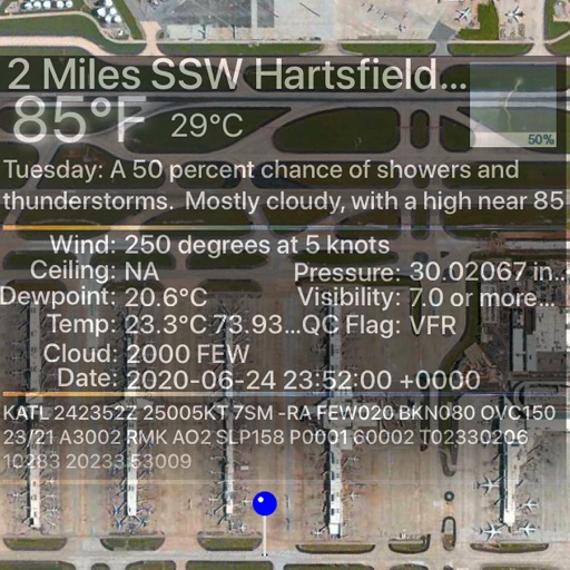
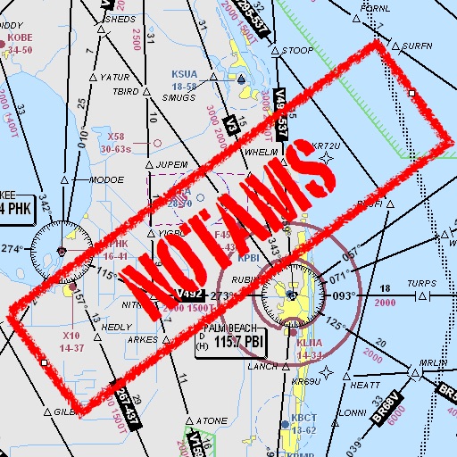
Assists pilots with interpreting NOTAMs, METARs, TAFs, and Area Forecasts. It decodes acronyms and contractions for both inflight and ground use. Users can search for details and weather reports.
The app uses a device's camera, gyroscope, and accelerometer to function as a sight level. Users can input the distance to a cloud, and the app calculates the height above or below it, correcting for the Earth's curvature.
Explore using the historic map. View detailed handcrafted graphics and compare with the modern city layout. historical areas and discover landmarks through layered map views. Save favorite locations and access historical context about key sites.
Plan and manage aircraft missions with DIY trip creation and editing. Add flight legs to build itineraries. Access shared trips for team collaboration. Coordinate complete missions with Universal Weather and Aviation's tools.