Convert across categories including length, area, mass, temperature, volume, density, and flow rates. Switch between like km to miles or Celsius to Fahrenheit. Calculate torque and viscosity values. Export results and share conversions directly.
Calculates air density, relative humidity, and air pressure automatically. Displays geographic position, temperature, dewpoint, elevation, and barometric pressure. Supports airport and manual input modes.
Access 3D printing features via connection with one-click printing and automatic slicing. Use 20+ design tools to customize models or generate content with AI. Explore thousands of pre-made 3D models for immediate printing.
Calculate bullet trajectories using a Modified Point Mass Solution with 4 Degrees Of Freedom. Input ballistic coefficients or drag coefficients from Doppler radar analysis. Adjust for wind, elevation, and distance.
Calculate ballistic trajectories using metric or imperial units. Input speed, angle, and elevation to generate distance and time data. Export dynamic charts for 100, 200, 300, and 500-yard ranges.
The app provides a collection of 13 measuring tools and a flashlight. It includes a barometer, altimeter, compass, teslameter, metronome, stopwatch, timer, seismometer, plumb bob, surface level, spirit level, and ruler.
Estimate , stone, rock, sand, topsoil, and aggregate needed for projects. Calculate required amounts in tons, cubic yards, and cubic meters. Input dimensions and material type to get accurate estimates.
Calculate bullet drop and wind drift for precise shooting adjustments. Input rifle specifications, ammunition data, and environmental conditions. ccurate trajectory predictions and apply corrections through the scope.
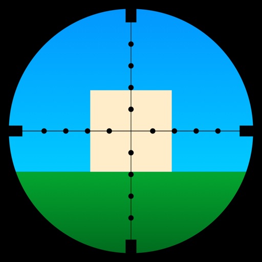
Learn to use a -Dot Riflescope with real-time range calculations in yards and meters. Perform target range estimation quickly using a simple graphical interface. One-handed operation eliminates manual input for range measurements.
The app measures the elevation of locations within a 500-meter radius using device sensors and internet-based geo information. It calculates altitudes in real time and displays them in meter or feet.
Monitor real-time GPS accuracy and switch between latitude/longitude and DMS formats. Copy with one tap. Toggle between metric, imperial, and nautical units. View location data quickly with a simple, reliable interface.