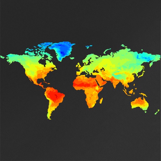
View global weather data with interactive map panning and zooming. Switch between weather layers for current and forecasted conditions. Track detailed weather changes up to 0.25 degrees on land or sea.
Find spots using detailed maps and real-time catch data. View advanced layers and customize maps for better scouting. Connect with other anglers to share tips and locations. Track activity and view catch reports.
Navigate off-road with 3D and GPS guidance. Filter trails by vehicle type including 4x4, SxS, and dirt bikes. Locate legal camping areas using USFS verified data. View property boundaries and access accessibility information.
Plan road trips by suggesting routes, points of interest, and stops. Search for campsites, hotels, and attractions. Save itineraries and share them. Use AI to generate plans based on travel history and preferences.
Plan activities at sea with real-time coastal weather data. View daily and monthly tide charts, tidal coefficients, and water levels. Track swell height, wave direction, and surf tables.
Plan and navigate off-road trips with detailed trail guides, GPS , and route planning tools. View trail difficulty, elevation, and user reviews. Save and share routes. Track progress and receive turn-by-turn navigation without internet.
Measure distances and angles using a rangefinder and inclinometer. View GPS coordinates and map overlays. Take geo-tagged photos and videos. Use a compass and navigation calculator for orientation and route planning.
Create and collaborate on detailed maps using satellite imagery and 3D terrain. Explore cities with 360° Street View. Add annotations and share maps with others. Navigate streets and view neighborhood details.
Find with interactive and depth charts. Check forecasts and track catches. Save locations and view detailed water information. Share catches and locations with other anglers. Set alerts for weather and tide changes.
The app provides offline maps for searching places and addresses. It offers navigation for cars, public transport, bikes, and walking with real-time traffic conditions and voice guidance.
Navigate using weekly updated nautical charts from NOAA. Plan routes manually or automatically. Record GPS tracks and store navigation data including markers and routes. Share data with others. Display tides and currents.
Create and customize elk calls with sound libraries and recording features. Adjust call settings for pitch and duration. Track hunting progress and share call recordings. Sync with other devices for real-time updates.
Play a 3D with realistic environments. Choose locations like Canadian forests, Finnish snowfields, and African savannas. Aim and shoot with precision. Manage inventory and track progress through different seasons.
Measure areas and calculate distances using GPS. Draw polygons on maps to calculate field areas. Save and share data. Access detailed maps and satellite imagery for accurate surveying.
Track GPS distances, view satellite and green heatmaps, and record scores directly from Apple Watch. Customize course details including pin positions. Access 300,000+ AI-powered Green Contour Maps for detailed contour and heatmap data.
The app helps users find and filter places and services, with or without an internet connection. It offers extensive filters and thousands of unique points for outdoor adventures.
Plan routes and navigate with detailed topographic maps. Find public and private outdoor access points. Book fishing and hunting adventures. Scout trails and track progress. Support charitable causes through in- donations.