The app provides information on 800 ports across the Mediterranean, Baltic Sea, and New Zealand. It includes photos, descriptions, harbour maps, weather forecasts, wind information, and safety details for boaters.
Search for oil wells across 20 states and view produced oil, water, and gas data. Filter wells by location and type. Export details and track production metrics. Navigate to sites using map views.
The app provides map display for land and sea with multiple map layers including OpenStreetMap and Apple Maps imagery. It offers features like offline map data, places of interest search, and waypoint management with GPX file support.
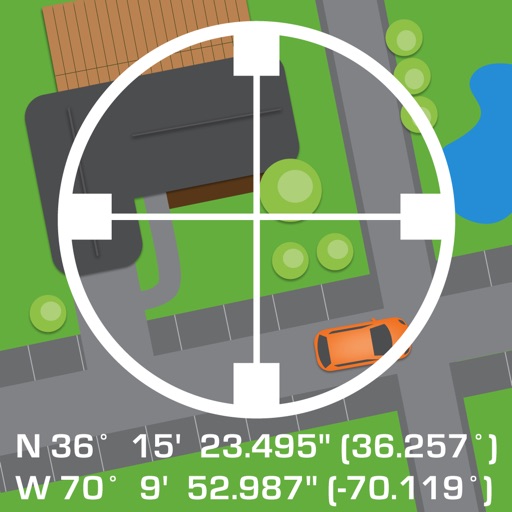
The app organizes location data into sets and groups. It displays and converts between coordinate formats, allowing for custom properties and map overlays.
Live Satellite Navigation provides real-time traffic updates and precise voice guidance for accurate route navigation. Multi-mode route planning allows users to select different travel options.
Manage membership access with tee time and golf tournament reservations. Track scores and handicaps. Reserve dining tables and order online. View events and children's summer program schedules. Access member directory and contact info.
Track ski runs with GPS, live speed, elevation data, and terrain insights. View animated route replays. Use intelligent tracking modes and receive automatic feedback. All features require a subscription.
Log hunting trips with GPS tracking and map integration. Record deer sightings and activity patterns. Manage gear inventory and set reminders for maintenance. Share trip details with other hunters. Export data in multiple formats for later review.