

Apps Like EScout Hunt for iPhone and iPad
EScout Hunt screenshots
Ranked alternatives
Showing 401–420 of 1,000 ranked alternatives.


Montana Hunting Access 2026
Mountainworks Software, Incorporated
Explore lands offline
Provides offline maps of lands. Users can search for points, view detailed descriptions, and save locations for later. The includes navigation tools, regulations, and seasonal information.


Area Calculator Pro +
Nicolas Schotten
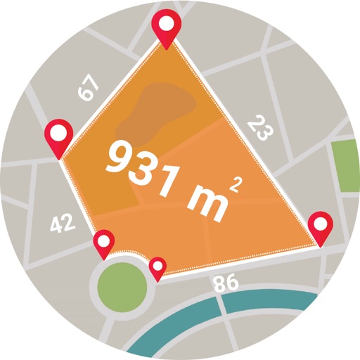
Calculate between map pins
Calculate areas between map pins. Create and move pins to adjust the . Locate yourself and add pins with one click. Search for places. Save and load data. Choose between standard, satellite, and hybrid map views.
Live GPS Land Area Calculator
Muhammad Asad Khan
Measure areas and distances with GPS
Calculate areas, plots, and distances using GPS technology. Draw and map regions on a map. Measure perimeter and of custom shapes. Save and share measurement data. Export maps in various formats.





Austrian Map Mobile
Garzotto GmbH
Digital maps of Austria with features.
The app provides digital maps of Austria with hill shading and object names. It includes topographic maps and offers functions like searching by name or coordinates, GPS features, and measuring distances.


Paintball Commander
Mikael Johansson
Team coordination on a live map.
The app displays all teammates on a live map, showing their real-time movements. Users can mark the ground and coordinate actions directly from the field or sideline.

Map Calculator 2.0 - Measure Distance & Area, Map a Walk, Run or Bike Ride
Dima Bart
, area, and paths on maps
Distances between points or calculate area of locations. Draw paths on maps or tap to add points. Record movement automatically while walking, running, or cycling. Save measurements for later review.

CBSA CanBorder
Canada Border Services Agency
Plan trips with border wait times
Check border wait times at Canadian and U.S. ports of entry. Use trip planner to find optimal crossing times and locations. Get turn-by-turn directions to the selected port.

Geo Elevation: Contour & Slope
ObjectGraph LLC
Elevation profile of any path.
The app analyzes terrain elevation for any path worldwide. It displays elevation profiles with key data and renders the ground in 3D.

Storm - Ski, alpinism, trail
Nick Calverey
Track outings with terrain maps and weather
Access topographic maps globally with offline viewing and 3D terrain features. Use gradient overlays and terrain tools for detailed analysis. Track outings with waypoints and planning tools. View real-time webcams, lift status, and piste information.
How we rank alternatives
Apps are ranked by functional similarity, category fit, rating confidence, and popularity.