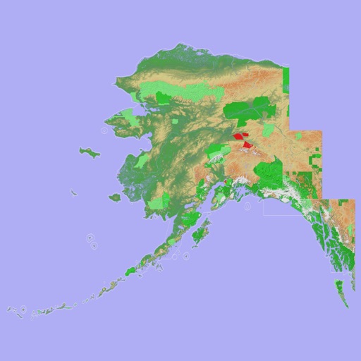
Navigate with a 3D topographic map of the USA. View detailed terrain and vector data offline. Use in vehicles or during outdoor activities. Access global maps online with automatic caching for offline use.
View 3D topographic maps of offline with vector data. Navigate by car, boat, plane, or on foot. Access worldwide satellite maps online with automatic caching. Toggle between map types and zoom to any location.
Plan and manage running, hiking, or biking routes using map-based tools. Calculate distances for routes, estimate calorie burn, and set training goals. Import and export routes. Sync with fitness trackers.
View real-time flight conditions and site information. Explore launch and landing sites globally. Access weather forecasts from multiple providers. Watch live webcams and view photos of locations. See valley wind patterns with directional arrows.
Find oil and gas locations across specified U.S. states. Get turn-by-turn directions. View well data and weather forecasts. Drop pins to identify locations. Share well information and coordinates.
Fly over a 3D city in a fighter , completing missions to earn points. Destroy enemy aircraft, helicopters, and ground targets with machine guns, missiles, and a ray weapon. Compete with other players via Game Center.
Access course maps, view hole-by-hole details, and track scores. Find locations, weather updates, and event schedules. Receive real-time guidance for tee times and facility amenities.
Provides realistic animal call sounds for attracting game. Users can play, stop, loop, and repeat with one-tap controls. Sounds are designed for natural calling patterns in the field.