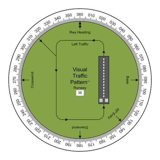
Allows pilots to view runway patterns with finger rotation. Display includes left and right patterns, crosswind, downwind, base, and 45-degree entry headings. Magnetic runway orientation matches aircraft heading for approach visualization.
Locate and start charging sessions at chargers. Filter between aircraft and ground networks. Monitor charge progress in real time. Stop charging sessions remotely.
The app displays track, heading, distance, ground speed, time enroute, ETA, and fuel burn on one screen. It includes METAR and TAF weather access and 55,000 airports and navaids offline.
Track Airlines flights in real time. View destinations, aircraft models, and flight speeds. Receive notifications about departures and arrivals. Share flight details with friends and family. Set alerts for specific routes or aircraft.
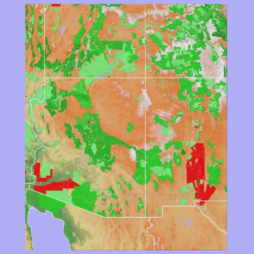
The app provides 3D topographic maps for iPad and iPhone. Vector map data is contained within the app for offline use, supporting navigation in various environments.