The app provides current FAA aviation charts updated every 28 days, including approach plates for the USA. It offers VFR, IFR, and other chart types, with METAR/TAF and IFR overlays.
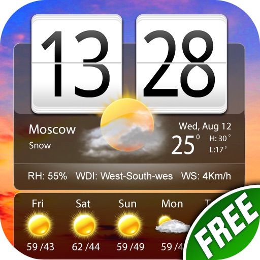
The app provides weather reports for over 5 million cities, including a four-day forecast. It displays current weather conditions with dynamic backgrounds and includes a world clock with voice alerts.
The app provides detailed, up-to-date forecasts and location-specific alerts from the local KXLY First Alert weather team. Users can view live and future radar, satellite imagery, temperature, and wind speed maps, and check local school closures.
Monitor current conditions with hourly forecasts and 24-hour radar. Track severe storms, heavy rain, and heat waves. Personalize settings for skin health and air quality . View live Doppler radar and hurricane updates.
Navigation provides flight planning and in-flight calculations. Users can customize quick access buttons, configure units, and manage blocks and airtime.
Navigate using real-time maps and flight tracking. View weather data and airspace restrictions. Log flight details and share them with pilots. Set waypoints and monitor altitude. Sync with GPS devices and receive turn-by-turn guidance.