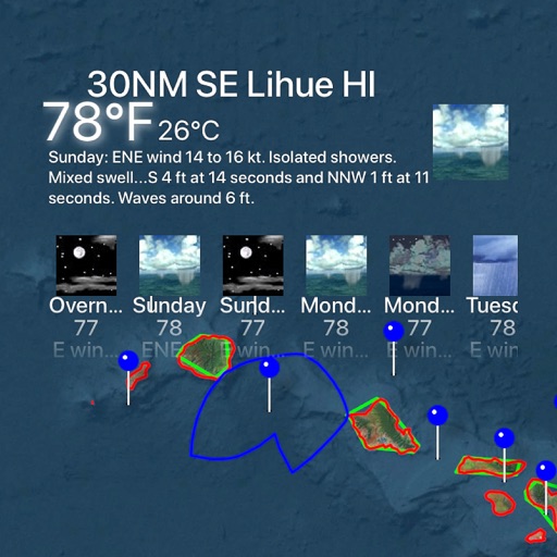
The app provides marine charts for the UK and Ireland, featuring live AIS ship positions, augmented reality views, and route planning. It offers offline charts, autopilot support, and detailed navigation information for boating trips.
Plan and navigate boating trips by creating routes on Mac and exporting them to iPhone. View high-resolution vector charts with detailed features like buoys and lights. Zoom and pan across charts for precise navigation.
Track rides and amusement park attractions automatically
Track rollercoaster and amusement park rides automatically. Add rides to daily lists based on location. View details and park information. Set trip goals and monitor progress. Sync with databases for accurate counting.
Explore historical sites including monasteries, churches, and castles. Navigate through valleys like Sousa, Douro, and Tâmega. Discover landmarks with rich cultural and religious significance. View detailed information about each location.