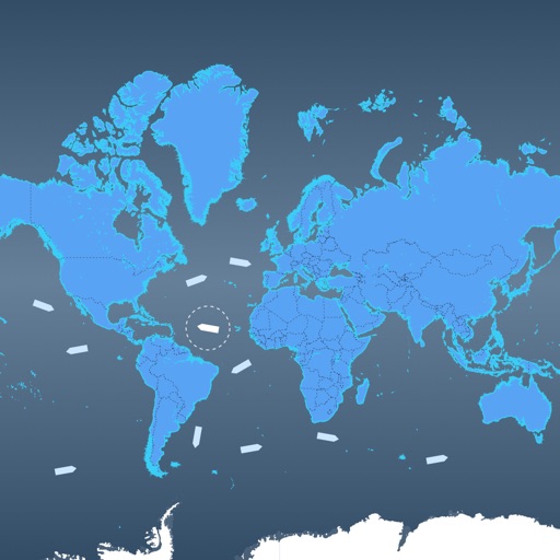
View real-time satellite imagery of any location. Explore 3D terrain and interactive street views. Track location and receive traffic updates. Navigate with detailed maps and location-based information.
The app obtains and stores flight data, showing elapsed time, distance to take-off, ground speed, and climb rate. It supports competition data entry and displays direction and distance to waypoints, converting data to IGC, GPX, and KML formats.
The app provides flight tracking for Miami International Airport. Users can view arrival and departure boards, manage trips, and access a packing list.