Provide detailed trail information including route names, difficulty levels, and elevation gains. Display precise topographic maps with avalanche terrain exposure ratings. Navigate through Chic-Chocs and areas.
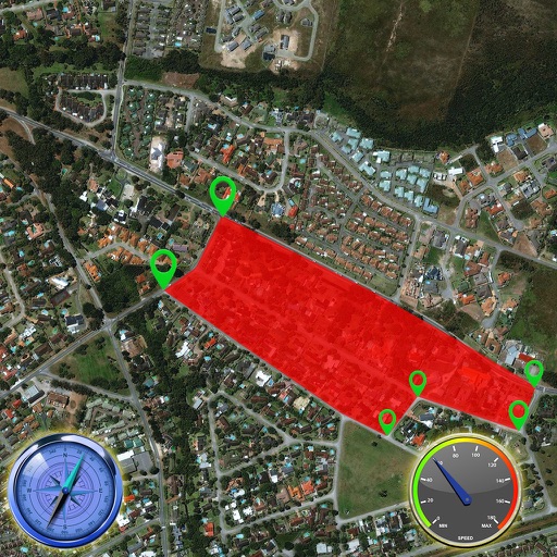
The app records user routes with GPS, allowing users to relive journeys using maps, photos, and speed data. Users can view color-coded tracks by speed or elevation and browse photos taken along the route.
Track speed and distance in real time with live activity updates on lock screen and Dynamic Island. Record activities in background and export tracks as GPX files. Support multiple units and dark mode. Pause and auto-resume tracking.