Log running times, track conditions, and record event details. Select from pre-loaded tracks or add custom ones. Choose ¼ mile or ⅛ mile and input timeslip data. Save events for future runs. View ET predictions and configure car settings.
Track speed, max speed, average speed, distance, travel time, and stop time. Measure acceleration from 0 to 60 mph. Receive speed limit warnings in HUDWAY mode. Displays trip data in a digital GPS speedometer format.
Location with latitude, longitude, and elevation. Use compass and speedometer for navigation. paths and share data or current location with friends. View battery and pressure readings. Support 3D touch for iPhone6 and iPhone6 Plus.
Track distances to greens and hazards on any course using GPS. Log scores and putts with a digital scorecard. View course maps, yardages, and pin positions. Save and share round details. Sync with other apps and devices.
Track or stats with vertical feet, lifts taken, resorts visited, highest elevation, and distance. Share stats and compare with others. Scan lift tickets hands-free from your phone.
Track times based on Solunar predictions, weather forecasts, and tide data. View locations and dates. Add photos of catches with descriptions and measurements. Share catches and view historical data.
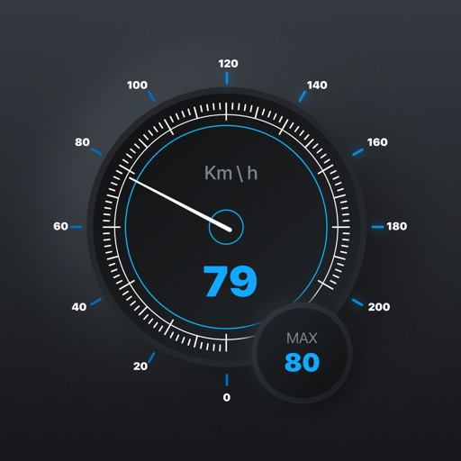
Track , distance, and direction with a digital and analog . Set custom distance values. Switch between portrait and landscape modes. Display in MPH, KM/H, and KNOTS. View altitude, maximum , and average with the Pro Pack.
Plan and track motorbike routes with customizable options for paved and unpaved paths. Share adventures and access 200,000 public routes. Log ride details and view maps with turn-by-turn .
The app plans optimal routes or allows users to chart their own course using weather and elevation data. It provides voice-guided navigation with automatic severe weather alerts to ensure safe travel.
BALLISTIC SOLUTIONS RESEARCH & DEVELOPMENT SOFTWARE SIARHEI RAICHONAK
Calculate hold overs and scope settings
Calculate hold overs and scope adjustments for long range shooting. Input variables like temperature, altitude, humidity, and distance. Account for target speed, direction, coriolis effect, and slope angle.
Track elevation and climb rate in real-time. Calibrate altitude settings and check GPS accuracy. Send location links via SMS for easy sharing and navigation assistance. View maps in web browsers for location tracking.
Calculate ballistic trajectories with detailed data including 4000 cartridges and 3300 reticles. Visualize trajectories, compare different cartridges, and adjust for barometric pressure, altitude, temperature, and wind.