The app provides local news, live weather, and sports coverage for the Tennessee, Virginia Tri-Cities area. Users receive breaking news alerts, traffic updates, and hourly/daily weather forecasts.
Federal Office of Meteorology and Climatology MeteoSwiss
Get weather forecasts and hazard alerts
Receive real-time weather forecasts, current conditions, and natural hazard alerts. Customize warning preferences and thresholds. Access blog posts on weather and climate. View interactive maps and radar data.
View real-time weather data including temperature, wind speed, and snowfall from 2,000+ mountain stations. Access avalanche forecasts and field observations from 14 centers. Display all data on a single map for pre-tour preparation.
Store and access dive logs in the cloud. Share dive sites and observations with other divers. Automatically correct underwater photo colors. Log dives with smart check-in features. Safely save diving history and track progress.
The app is a large online community for Lake Ontario fishing enthusiasts. It offers a platform for anglers to connect, share reports, and learn about fishing techniques, locations, and regulations.
Plan trips with detailed itineraries, map locations, and local weather information. Find nearby restaurants, bars, and hotels. Access tips, articles, and recommendations for activities and attractions. Share experiences and track visited sites.
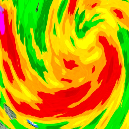
Monitor current conditions with hourly forecasts and 24-hour radar. Track severe storms, heavy rain, and heat waves. Personalize settings for skin health and air quality . View live Doppler radar and hurricane updates.
City of Colorado Springs, Pikes Peak - America's Mountain
Trails and nature gallery
The natural history and beauty of with interactive quiz games and a nature gallery. Customize photos with filters and text. Use the map to navigate lookout points and collect stickers by answering quiz questions.
Provides an audio guide for the Catalina Highway drive to Mt. . Includes narration about Southern Arizona's natural , Sonoran Desert, and Sky Island mountains. Features music by Calexico and educational content for families.
Allows users to rent electric scooters for short-term use. Users can unlock scooters with a $1 fee and pay $0.40 per minute. Locate and unlock scooters in designated areas. Ride along river trails or through town. Track usage time and location.
Plan trips to parks with downloadable and guides. Access over 70 parks, 140 folded from various agencies, and 1,600 campgrounds. View 2,600 trails and motor vehicle use for navigation in areas without Wi-Fi.
Add using current location or search. Create routes with step-by-step navigation. Save notes and photos for each location. Share locations with others. Track visited and plan future trips. Sync across devices.
Explore the original route from New York to San Francisco with turn-by-turn navigation. Discover 88 historical points of interest. Access links for additional information. Share locations via Facebook, Twitter, SMS, or email.