Record GPS data for infrastructure surveys. Capture and map utility networks with precise coordinates. Categorize and label points of interest. Export data in standard formats. Integrate with geographic information systems for detailed analysis.
Configure joysticks or gamepads to simulate keyboard inputs, mouse movements, and clicks. Map axes and buttons to specific actions. Control apps and games without native support. Supports Xbox, Logitech, PS3, PS4, Steelseries, and Nintendo devices.
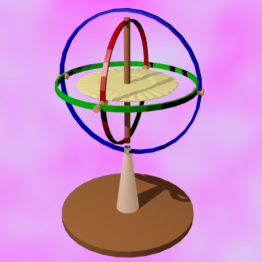
The app measures rotation rate, roll, pitch, and yaw angles in real time. It records navigation and orientation data, displaying it graphically with filtering and saving options.