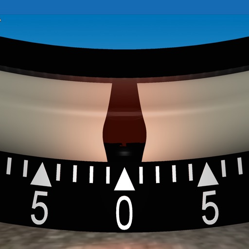
Measures roadway curve angles in degrees. Calculates combined effects of superelevation, vehicle roll, and lateral acceleration. Provides advisory speed recommendations for horizontal curves. Syncs with devices for data storage and analysis.
Convert units and currencies with real-time exchange rates and offline support. Switch between dark mode and light mode. Access calculators for salary, gratuity, and more. Perform unlimited conversions without size limits.
Calculate routes and determine points on Rhumb Line, Great Circle, and WGS84. Compute average speed and estimated time of arrival. Plan routes with manual waypoints and create waypoint routes. Support composite sailing calculations.
Measure and display decibel levels in real time using a gauge. Record maximum, average, and minimum decibel values with a logarithmic graph. View accurate level readings. Access a history page to review past decibel data.
Displays device location as a plane with speed, direction, altitude, and geo data. Allows adding markers at specified distances or times along the flight path. Tracks movement on the map.
Displays altitude using a digital readout and an analog gauge. Tracks maximum height reached during use. Shows altitude accuracy and sensor quality. Utilizes GPS and barometric sensor for precise measurements.
Access real-time and TAF reports for accurate aviation weather data. View wind speed, visibility, temperature, and cloud coverage. Set location preferences and receive updates. Share reports via email or messaging.
Manage helicopter weight and balance calculations. Load and save up to 10 helicopter configurations. Connect to Fleet Control for updating BEW and aircraft data. Sync with online database for managing multiple helicopters.
Calculate potential output using the formula Pa = 1/2 ξ ρ A v^3. Input air density, windmill efficiency, cross-sectional area, and velocity. Display estimated in watts. Allow users to adjust variables and view results.