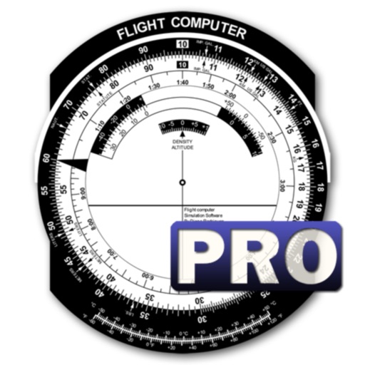
Calculate -related conversions, fuel consumption, and navigation metrics. Perform arithmetic operations and unit conversions. Track time, distance, and speed. Sync with Apple Watch for real-time updates.
Calculate aircraft weight and balance using real-time data. Input aircraft details and load configurations. ccurate W&B reports. Share results with instructors and flight managers. Sync with management systems for updated information.
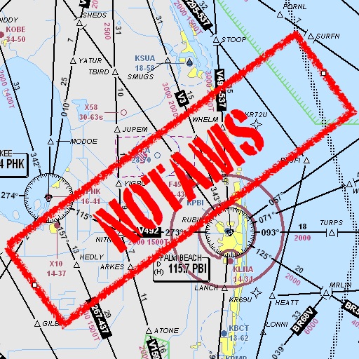
Assists pilots with interpreting NOTAMs, METARs, TAFs, and Area Forecasts. It decodes acronyms and contractions for both inflight and ground use. Users can search for details and weather reports.
FlightWinds calculates crosswind, tailwind, and headwind components for takeoff and landing. Displays dual runway views. Alerts users when wind limits are exceeded. Offers an intuitive interface and universal access.
Make voice and video calls with end-to-end encryption on 2G, 3G, 4G, 5G, or Wi-Fi. Send messages and share files securely. Connect with contacts globally for international and local calls.
The app fetches and decodes preflight weather reports, including METAR and TAF. It allows users to discover airports, manage selected weather stations, and view up-to-date reports on one screen.
Track detailed logs with Hobbs and Tach time. Record multiple destinations and routes. Assign multiple pilots to flights. Add maintenance notes and document details. Manage aircraft schedules and access operational data in one platform.
Helps pilots check airspace, weather, and checklists. Store pilot documents, fill out risk assessments, and reference Part 107 rules. Includes workflow guidance for new pilots and decision-making tools for experienced users.
Monitor restrictions and flight paths in real time. Access FAA-approved data. Receive alerts for restricted areas. Share flight information with others. View current weather conditions and airport details.
Calculate and oxygen consumption based on altitude. Display ranges as colored rings on an interactive map. Adjust altitude to see updated range projections. Show overlapping airports with sufficient resources for safe landing.