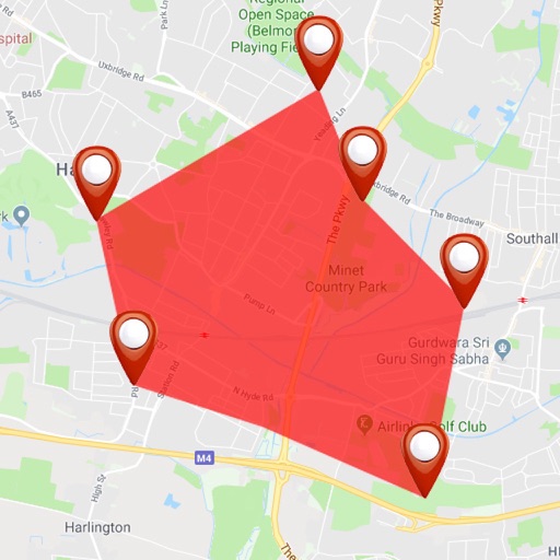
Track field worker locations in real time using GPS. View movement history and manage staff whereabouts. Control settings and monitor activity through a web-based interface.
The app calculates the shortest distance or distance with a constant bearing between two locations. Users can select current location, enter coordinates, or choose from a database.
The app plans cycle journeys across the UK with three routing modes and a circular leisure option. Users can submit photos of cycling infrastructure to the Photomap.
Create and save location-based DIGIPINs by moving the map to set a desired spot. Share DIGIPINs via quick links for Apple and Google Maps. View saved pins with addresses and shareable links.