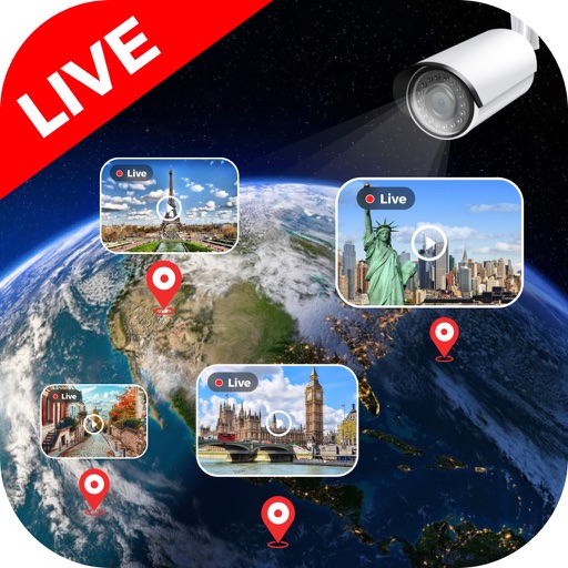
View feeds from global locations including landmarks, cities, and natural sites. Browse cameras by country. Adjust stream quality and save clips. Share streams via social media or messaging apps.
View street maps and satellite imagery to identify locations worldwide. Check traffic conditions and update maps in real time. Find nearby points of interest and navigate to destinations with accurate directions.
Explore locations with live 360° views and 3D maps. Navigate streets and neighborhoods using integrated Google . Learn about places through immersive virtual tours. Plan trips by viewing detailed -level imagery and interactive maps.
3D maps and views of locations. Track real-time location with traffic data. Calculate distance from home. Plan routes and explore famous sites. Find directions and covered area during navigation. Use 3D world map for trip planning.
Find routes with real-time traffic updates and voice-guided . View 3D aerial and use a digital compass for orientation. Plan trips with AI-generated itineraries and track progress toward destinations.
Track GPS and GLONASS satellite data including position, accuracy, speed, altitude, and orientation. Save and navigate to locations using coordinates or real-time data. Use a compass with magnetic and true north, a leveling tool, and waypoints.
Explore streets and landmarks with 360° panoramic views and detailed maps. Plan routes, search for nearby locations, and and terrain imagery. Navigate with real-time map updates and interactive -level perspectives.
Capture photos with geotagging, date-time, and location data including latitude, longitude, altitude, weather, and compass. Add timestamp watermarks to real-time photos. Share geotagged images with others.
Without internet access using detailed global maps. Download and view maps for any location worldwide. Get turn-by-turn directions without tracking location or usage. Sync with devices for travel.
Navigate with GPS maps and real-time traffic updates. Use voice search to plan trips. View street-level details and measure areas on the map. Get turn-by-turn directions and track driving routes. Sync with satellite data for accurate navigation.