Find nearby parks based on location or activity preferences. Search for trails, picnic spots, and facilities. Get directions and real-time updates on park conditions and events. Share locations with friends and save favorite spots.
Use AR to locate parked cars 3D navigation. Tap "I parked here" to save locations quick or detailed GPS settings. Follow AR arrows for precise directions back to vehicle. Save new spots as needed.
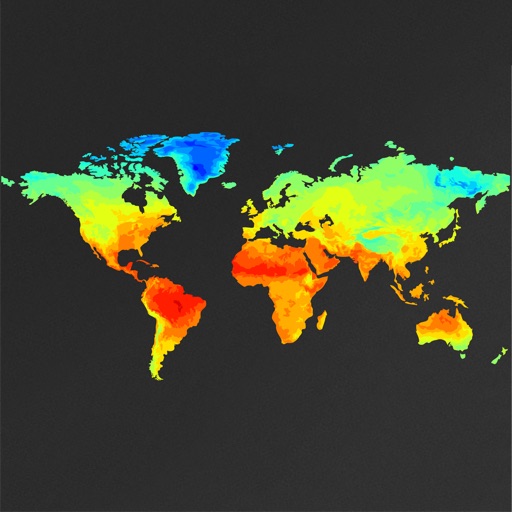
View global weather data with interactive map panning and zooming. Switch between weather layers for current and forecasted conditions. Track detailed weather changes up to 0.25 degrees on land or sea.
Receive real-time traffic updates for interstates, U.S. routes, and state highways. Listen to audio alerts about traffic incidents along your route. View a zoomable map with clickable points for detailed information. Track travel times and delays.
Book travel tickets instantly, view real-time schedules, and manage your itinerary. Track departures and arrivals, receive updates, and save trip details for easy reference.
Find fee-free and low-fee ATMs in 50+ countries with detailed ATM profiles including fees for foreign cardholders. Exchange currency, transfer money, access visa information, and locate emergency services. View traveler reviews for each location.
Find hot across the USA with detailed location data. View temperature, local weather, nearest city, and search results. Access offline maps and monthly updated database. Tap to see driving distance and time from your location.
Find campsites for tents, RVs, and glamping with real-time AI scans of campground platforms. Reserve spots directly. View availability for locations across the U.S., including California and Oregon destinations.
Plan trips to parks by downloading , brochures, and newspapers. Explore 80+ parks, 500+ campgrounds, 2,600+ trails, and 73,000+ points of interest. Access 60+ folded from federal and state agencies. Navigate without WiFi in wilderness areas.
The app provides information on lodging, restaurants, beaches, and recreation in Half Moon Bay, California. It includes local news, weather, tide tables, and a directory of community resources and public safety alerts.
Change by dropping pins on a map. Edit GPS coordinates and add custom elevation data. Spoof with photo capture and share fake locations that appear real. Save unlimited custom spots and export as KML files.
Navigate using real-time GPS and map data. Mark and save locations. Track movement and speed. Share coordinates with others. Use offline maps for areas with limited connectivity. Set waypoints and receive turn-by-turn directions.