Manage a record collection by adding, editing, and organizing albums. Customize artwork, price, and notes for each record. Search for records, manually enter missing entries, and track ownership details.
View natal and transit with precise calculations. Access clear tables for detailed astrological information. Use synastry and astro dice features for interactive analysis. Perform unlimited natal calculations for free. Upgrade for full functionality.
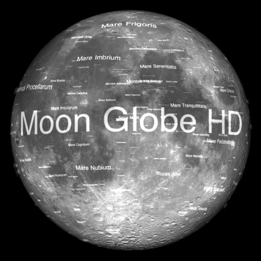
The app displays Earth's Moon in realtime 3D using satellite imagery and topographic data. Users can manipulate the view, switch to Telescope mode, and adjust the display time to observe shifting sunlight on the lunar landscape.
Practice exams, track progress, review weak topics
Study for U.S. Amateur licenses with real FCC question pools and practice exams. Take timed quizzes, track progress, and receive focused review on weak areas. Learn offline and set reminders for consistent study.
View real-time fishing run data including statistics, weather updates, and port information. Track openings and boat activity. Access data for Bristol Bay commercial fishing season. Requires yearly subscription for premium content.
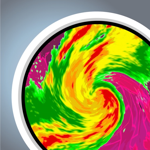
View real-time with high-resolution NEXRAD LEVEL 3 data. See up to 60 minutes of future forecasts in 1 km x 1 km intervals. Track storm paths and receive active severe alerts. Display rain, snow, and cloud coverage. Sync with real-time U.S.
Track launches, stream events, learn about spacecraft
Track space launches in real time with live streams, notifications, and mission details. View spacecraft and payload specifications. Access launch coverage and images from professional photographers.
Access real-time updates multiple times per hour. View high-resolution radar and satellite imagery. Add and save favorite locations. Track severe with future radar. Use integrated GPS for current location data. Set alerts for specific conditions.
Helps users find Polaris or Sigma Octantis for polar alignment. It displays current direction, elevation, latitude, longitude, and altitude. Users can check alignment status and adjust setup accordingly.
View current updates multiple times per hour. Access high-resolution satellite imagery and 250-meter radar. Track severe with future radar predictions. Save favorite locations and use integrated GPS for location awareness.
View real-time animations in various wavelengths. Track active regions and sunspots with detailed information. Receive updates on coronal mass ejections using SDO and LASCO imagery.