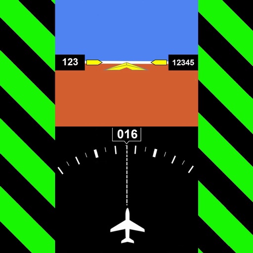
Displays altitude, coordinates, and speed with options for metric or imperial units. Shows accuracy and warns about signal issues. Offers aircraft mode with in feet. Compares current altitude with known values. No ads or data collection.
View and add Points of Interest on a real-time map. Track assets geographically. Update locations manually or automatically. Share map data with team members. Set custom markers and notes for specific locations.
Display speed in miles per hour or kilometers per hour. Show altitude and direction. Switch units by tapping the screen. Track speed for cars, trains, buses, bicycles, and other vehicles.
The app offers flight booking and management services, including seat reservations and in-flight meal purchases. Users can check flight schedules, issue boarding passes, and access travel information in seven languages.
Explore locations with AI-powered audio tours that provide historical and cultural context. Use GPS to trigger relevant content based on your location. Learn about landmarks, , and natural wonders through guided narratives.