View for over 9,000 stations across 40 countries. Locate nearby automatically. Set custom alerts for specific locations. Track high and low schedules. Share data with others.
View real-time buoy observations from 800+ NDBC buoys. Check forecasts for over 300 zones. Access tide predictions and current hourly forecasts. Save favorite buoys and locate the nearest one. Sync data across all devices.
View real-time animated images with color-coded precipitation. Check future forecasts and detailed data through interactive map layers. Access fire and air quality indexes. Identify freezing rain for road hazard warnings.
Track current , precipitation, and temperature. View imagery and storm tracking. Set customized alerts for severe . Forecast daily and hourly conditions. Share data with others.
Check current conditions and forecasts. View interactive radar maps. Receive customizable severe alerts. Access hyper- forecasts from personal stations. Track microclimate changes and historical data.
Monitor real-time water and flows for rivers in the USA and 20 other countries. View data from over 40,000 hydrometric stations. Track conditions for activities like kayaking, fly fishing, and hydroelectricity.
View current , forecasts, and radar images. Customize main screen widgets. Remove ads. Choose color themes. Save up to two locations. Access advanced data. Sync with Apple Watch. Lock locations for privacy.
Access real-time sea surface temperature maps, high-definition satellite imagery, and marine weather . Track water color, currents, tides, and moon phase. Mark and save GPS locations for temperature breaks and color barriers.
Access real-time alerts from NOAA, view interactive maps for current conditions, and find nearby Red Cross shelters and services. Retrieve step-by-step preparedness guides for tornadoes, hurricanes, and other emergencies.
View real-time images and forecasts for precise local updates. Track storms and hurricanes with alerts. Access detailed humidity data and multiple perspectives. Share images directly.
View real-time maps and track tropical cyclones. Explore global cloud patterns and hurricanes. Access forecasts and world for cities. Display a 3D simulation of with accurate star renderings. Rotate and zoom the for different perspectives.
The app displays river stage height and flow rate for over 12,000 active gauges across the USA. It provides official flood warnings and alerts from the National Weather Service, with color indicators for river conditions.
View global weather data from GRIB files including wind, precipitation, pressure, temperature, waves, and more. Overlay weather information on custom map locations. Watch animated weather maps. Analyze trends and save data for later reference.
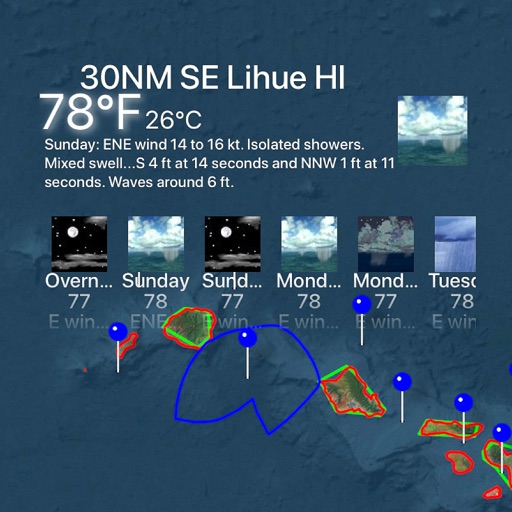
Access real-time marine data including wave height, wind speed, air and water temperature, and pressure from buoys. View 6-hour historical wave trends and receive 5-day National Service marine forecasts with text summaries and specific spots.