
CaptainVFR
Quality Unit s.r.o.
Plan flights, track position, navigate routes
Plan and navigate flights with interactive aviation maps featuring high-resolution worldwide coverage and offline support. Track real-time GPS positions with moving maps.

Showing 61–80 of 1,000 ranked alternatives.
Quality Unit s.r.o.
Plan flights, track position, navigate routes
Plan and navigate flights with interactive aviation maps featuring high-resolution worldwide coverage and offline support. Track real-time GPS positions with moving maps.


Myriel Aviation SA
Plan flights, track weather, view maps
Plan flights with detailed weather data, airport information, and NOTAMs. Overlay georeferenced charts on aviation maps. Access IFR and VFR plates for over 200 countries. Manage and download airport plates in advance.


Igoox SL
Track tides and surf conditions
Plan activities at sea with real-time coastal weather data. View daily and monthly tide charts, tidal coefficients, and water levels. Track swell height, wave direction, and surf tables.



Lonnie Ganz
Flight planning made simple for pilots.
The app displays track, heading, distance, ground speed, time enroute, ETA, and fuel burn on one screen. It includes METAR and TAF weather access and 55,000 airports and navaids offline.

MEMS Group, Inc.
Track fish, forecast weather, and plan trips
Explore detailed bathymetric and satellite maps of 50,000+ U.S. lakes, rivers, reservoirs, and coastal areas. Filter by species to locate optimal spots. Access real-time forecasts and expert guides for targeted strategies.

Adventure Pilot, LLC
Affordable capability for VFR IFR pilots.
The app offers VFR and IFR pilots an affordable, capable, and usable electronic flight bag. It provides pilots with necessary information for safe flight, featuring an intuitive interface and pilot-focused support.

Michal Frankowski
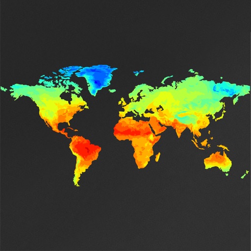
Pan and zoom global weather maps
View global weather data with interactive map panning and zooming. Switch between weather layers for current and forecasted conditions. Track detailed weather changes up to 0.25 degrees on land or sea.

Free2move Deutschland GmbH
Rent cars instantly in city centers
Find nearby available cars and unlock them with your phone. Start a trip with no paperwork or waiting. Park and fuel for free. End the trip and pay only for the time used. No offices or long lines required.



WEATHER VIEW, LLC
Watch change with time滑动查看天气变化
View real-time changes by scrolling through the day. Adjust time with finger swipe. Track accurate sunset times and real moon phases. Explore interactive landscapes with animated animals, people, and vehicles.

FLEMINGER MEDIA LLC
Access aeronautical and charts offline
Access aeronautical for 41,000 airports and 10,900 radio navigation aids. View details including name, city, state, and country. Download and view weather, charts, and notams offline after initial online access.

BaseMap Inc
Track location and cache offline
Navigate with offline GPS and real-time tracking without cellular service. Access 800+ map layers including government land ownership, private parcel boundaries, and water depths. Cache for offline use and view color-coded land data nationwide.
Apps are ranked by functional similarity, category fit, rating confidence, and popularity.